Topics > Geography > Rivers > River Allen > River East Allen
River East Allen

Co-Curate Page
Catton
- Overview Map Street View Catton is a village by the River East Allen in Northumberland. Catton is located about a mile north of Allendale Town. Historically, the wider area around …
Co-Curate Page
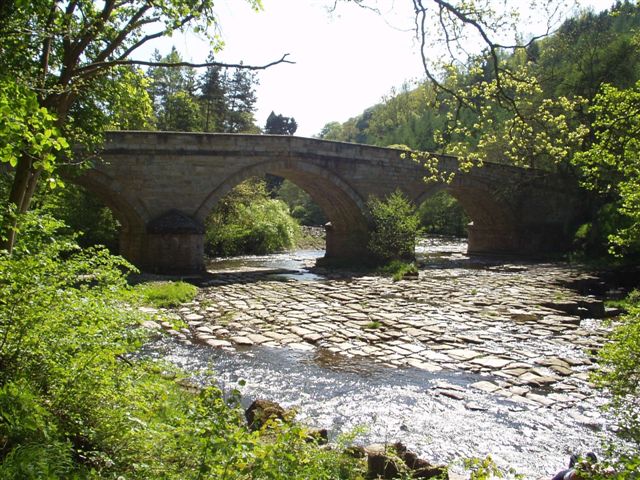
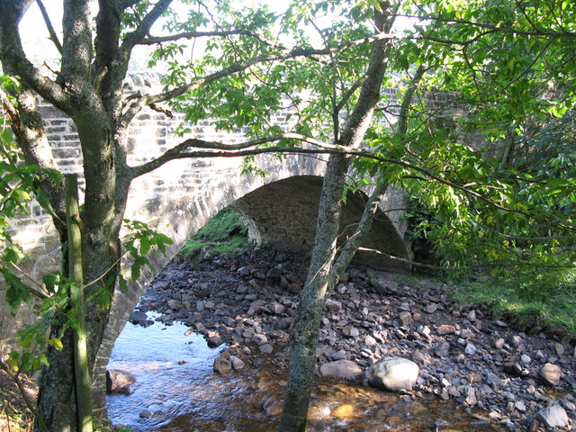
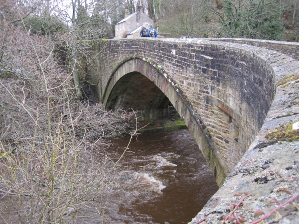
Corn Mill Bridge, Spartylea
- The stone bridge over the River East Allen is located near the old corn mill and St Peter's Church in Spartylea. The bridge dates from the early 19th century and …
Co-Curate Page
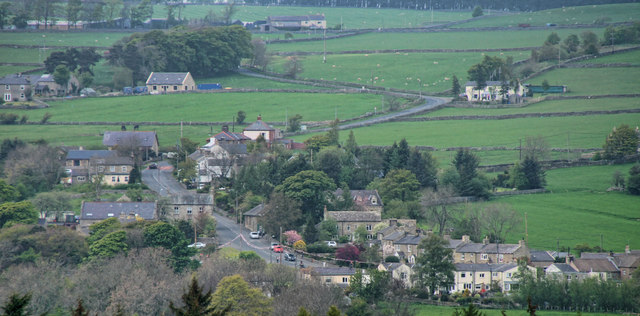
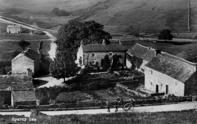
Spartylea
- Overview Map Street View Spartylea (or Sparty Lea) is a village in the valley of the River East Allen, in Northumberland. The village is on the B6925 road, about 4½ …
Co-Curate Page
Allendale Town Bridge
- Overview Map Street View Allendale Town Bridge, located at the east of Allendale Town, carries the B6925 road over the River East Allen. The stone segmental arch bridge dates from the …
Co-Curate Page
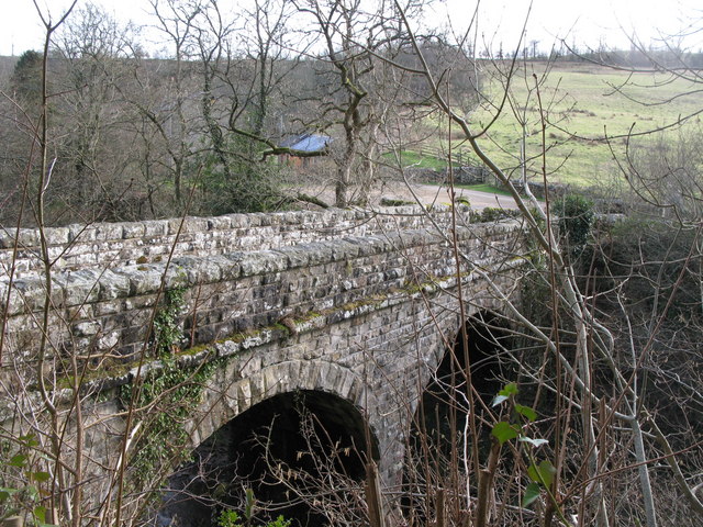
Allenmill Bridge
- Overview Map Street View Allenmill Bridge, located just over half mile north-west of Allendale Town, carries the B6295 road over the River East Allen. The stone bridge, with 2 segmental …

Co-Curate Page
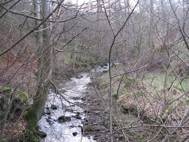
Ropehaugh (Dirt Pot)
- Overview Map Street View Ropehaugh (Dirt Pot) is a hamlet in Northumberland, located about half mile north-west of Allenheads and within the North Pennines AONB. It is a linear settlement, …
from Geograph (geograph)
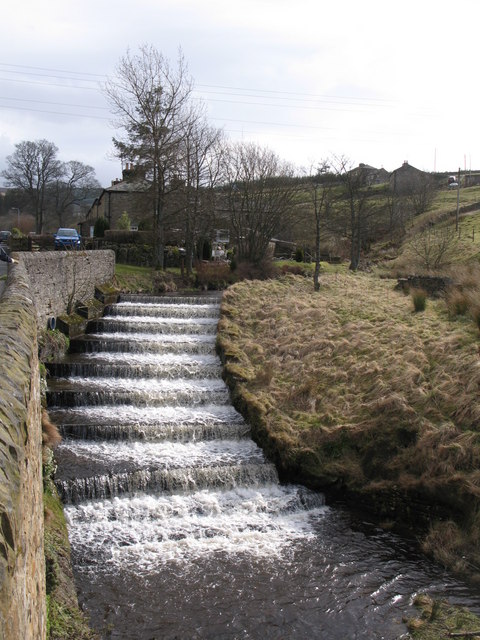
Steps in the bed of the River East Allen near Dirt Pot
Pinned by Simon Cotterill

Co-Curate Page
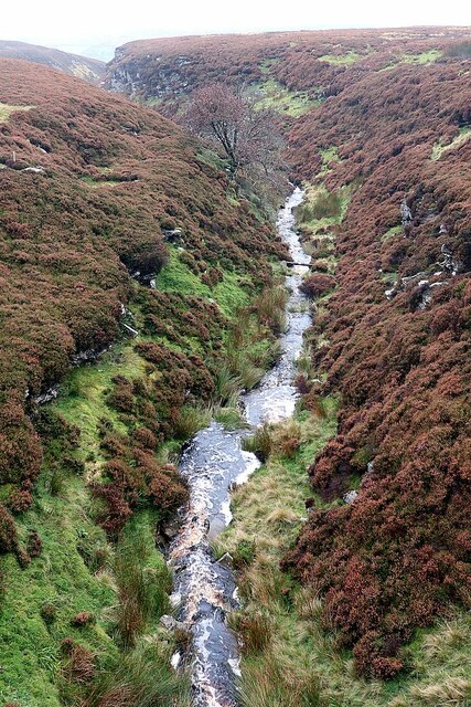
Peasmeadows
- Overview Map Street View Peasmeadows is a hamlet situated by the River East Allen. It is located off the B6295 road, about 1 mile north-west of Allenheads and 5½ miles …

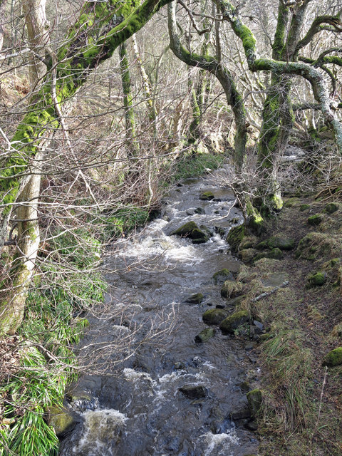
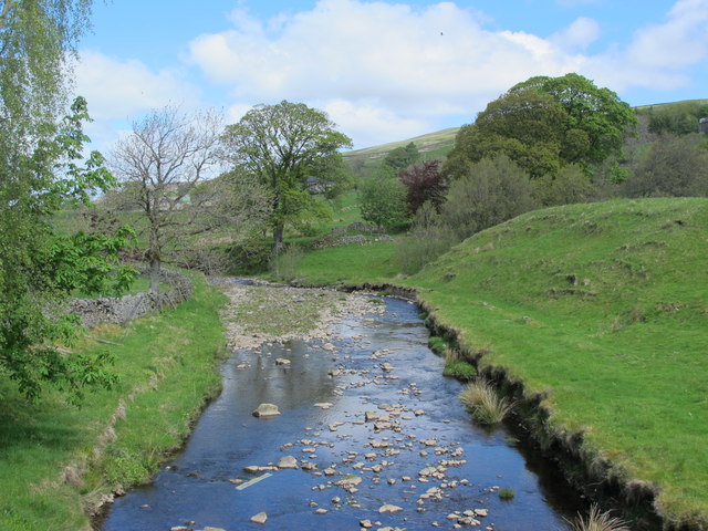
from Geograph (geograph)
The River East Allen downstream of Oakpool Bridge
Pinned by Simon Cotterill
Co-Curate Page
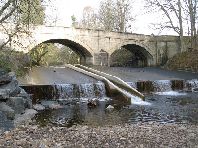
Oakpool Bridge over the River East Allen
- Overview Map Street View There is a stone bridge with two arches over the River East Allen at Oakpool. The single track bridge caries Appletree Bank (road) over the river, …

Co-Curate Page
Catton
- Overview Map Street View Catton is a village by the River East Allen in Northumberland. Catton is located about a mile north of Allendale Town. Historically, the wider area around …
Co-Curate Page
Corn Mill Bridge, Spartylea
- The stone bridge over the River East Allen is located near the old corn mill and St Peter's Church in Spartylea. The bridge dates from the early 19th century and …
Co-Curate Page
Spartylea
- Overview Map Street View Spartylea (or Sparty Lea) is a village in the valley of the River East Allen, in Northumberland. The village is on the B6925 road, about 4½ …
Co-Curate Page
Allendale Town Bridge
- Overview Map Street View Allendale Town Bridge, located at the east of Allendale Town, carries the B6925 road over the River East Allen. The stone segmental arch bridge dates from the …
Co-Curate Page
Allenmill Bridge
- Overview Map Street View Allenmill Bridge, located just over half mile north-west of Allendale Town, carries the B6295 road over the River East Allen. The stone bridge, with 2 segmental …
Co-Curate Page
Ropehaugh (Dirt Pot)
- Overview Map Street View Ropehaugh (Dirt Pot) is a hamlet in Northumberland, located about half mile north-west of Allenheads and within the North Pennines AONB. It is a linear settlement, …
from Geograph (geograph)
Steps in the bed of the River East Allen near Dirt Pot
Pinned by Simon Cotterill
Co-Curate Page
Peasmeadows
- Overview Map Street View Peasmeadows is a hamlet situated by the River East Allen. It is located off the B6295 road, about 1 mile north-west of Allenheads and 5½ miles …
from Geograph (geograph)
The River East Allen downstream of Oakpool Bridge
Pinned by Simon Cotterill