Tyne and Wear HER(11644): Longbenton, Community College, aircraft obstructions


-
Description
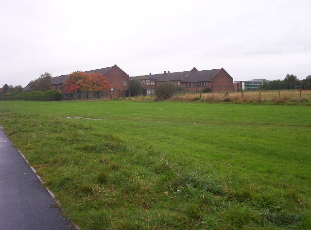
"Aircraft obstructions of WW2 mapped from air photographs taken soon after the war. Formed in a grid layout, on the west side of Forest Hall and east of Benton Lane, over an area of 500m x 300m. A ditch with adjacent lines of mounds of upcast spoil. Levelled and then destroyed by the school. Evidence may survive in the fields west of the college...." -
Owner
SiteLines -
Source
Local (Co-Curate) -
License
What does this mean? Unknown license check permission to reuse
-
Further information
Link: http://www.twsitelines.info/SMR/11644
Resource type: Text/Website
Added by: Simon Cotterill
Last modified: 7 years, 10 months ago
Viewed: 939 times
Picture Taken: Unknown -
Co-Curate tags


