Hart Burn

-
Description
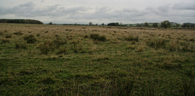
"Fields near the head of Hart Burn. Hall's Hill Plantation is visible in the distance on the left." Photo by Peter McDermott, 2009. -
Owner
Peter McDermott -
Source
Geograph (Geograph) -
License
What does this mean? Creative Commons License
-
Further information
Link: http://www.geograph.org.uk/photo/1548847
Resource type: Image
Added by: Simon Cotterill
Last modified: 8 years ago
Viewed: 777 times
Picture Taken: 2009-10-20 -
Co-Curate tags

 SE of Wagtail Farm - Scheduling")


