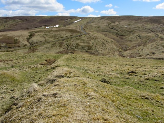
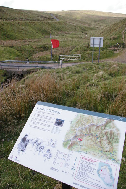
Eastern boundary dyke, Chew Green

-
Description
"The Roman road, Dere Street, now the course of the Pennine Way, runs alongside to the left." Photo by Andrew Curtis, 2013, and licensed for reuse under a Creative Commons Licence. -
Owner
Geograph.org.uk -
Source
Geograph (Geograph) -
License
What does this mean? Attribution-ShareAlike 2.0 Generic (CC BY-SA 2.0)
-
Further information
Link: http://www.geograph.org.uk/photo/3432028
Resource type: Text/Website
Added by: Simon Cotterill
Last modified: 9 years, 3 months ago
Viewed: 789 times
Picture Taken: Unknown -
Co-Curate tags


