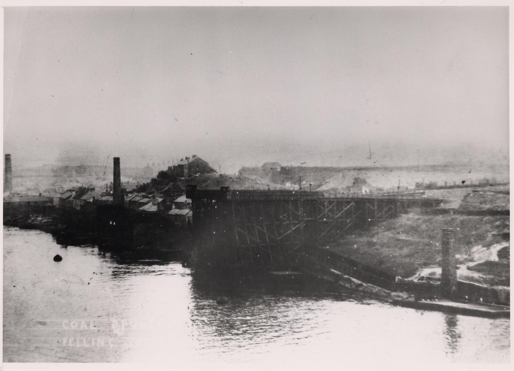
Coal Staithes, Felling Shore

-
Description
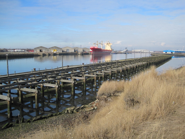
"Coal was transported, on waggonways, from the collieries to the staithes. Earlier pits were situated near to the River Tyne as possible, so that coal could be carried easily to the staithes. These wooden platforms were built out over the river. The keels waited under the staithes to receive the coal from the waggons. A long wooden waggonway led to Felling Shore Staithes. This was the Washington Waggonway or Great Grindstone Way. It was seven miles long, extending from Washington, via Usworth, crossing Leam Lane, between Springwell Inn and Wallace Village and ran north of the Fell Dyke past White House. From there it followed Battery Lane to Stone Street, crossed Windy Nook Road to the present Black House Inn (then called the Waggon Inn) and went down Coldwell Terrace and Felling high Street to Brewery Lane. Just beyond Felling Hall it turned westward to the staithes." (http://isee.gateshead.gov.uk/detail.php?t=objects&type=all&f=&s=Felling+Shore&record=1">iSee Gateshead) -
Owner
iSee Gateshead c/o Wikimedia Commons -
Source
Local (Co-Curate) -
License
What does this mean? Unknown license check permission to reuse
-
Further information
Link: http://commons.wikimedia.org/wiki/File:Coal_Staithes,_Felling_Shore.jpg
Resource type: Text/Website
Added by: Simon Cotterill
Last modified: 10 years, 9 months ago
Viewed: 2020 times
Picture Taken: Unknown -
Co-Curate tags
