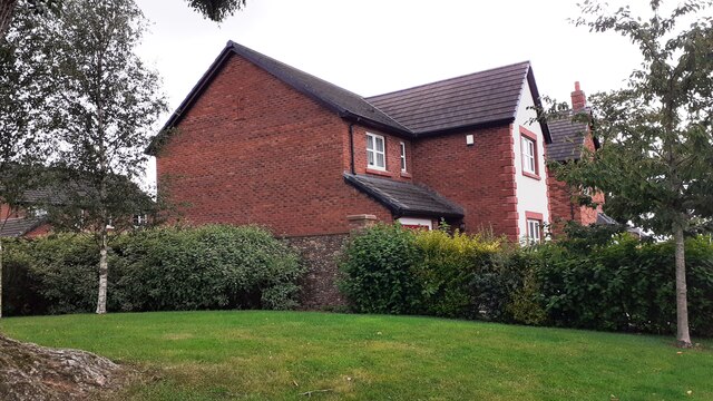
New housing on site of High Crindledike Farm


-
Description
"Ordnance Survey records indicate that a cut mark benchmark levelled at 31.779m above Newlyn Datum was verified in 1974 on farm barn at this location" Photo by Roger Templeman, 2021. -
Owner
Roger Templeman -
Source
Geograph (Geograph) -
License
What does this mean? Creative Commons License
-
Further information
Link: http://www.geograph.org.uk/photo/6938070
Resource type: Image
Added by: Simon Cotterill
Last modified: 1 year, 1 month ago
Viewed: 236 times
Picture Taken: 2021-08-17 -
Co-Curate tags


 Roman Fort")
 Roman Fort - west boundary (2)")