Carvoran (Magna) Roman Fort

-
Description
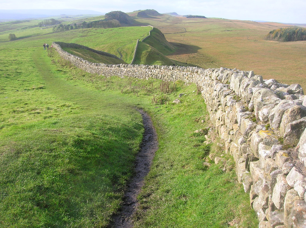
The name means stone or rock. Carvoran lies at the junction of the Stanegate and the Maiden Way. The fort measures 129 m by 123 m and covers about 1.65 ha (4 acres). {Source: "Handbook to the Roman Wall" (14th Edition) by J Collingwood Bruce.} Photo by Mike Quinn, 22 April, 2009, Geograph, CC-BY-SA 2.0 -
Owner
Geograph -
Source
Local (Co-Curate) -
License
What does this mean? Unknown license check permission to reuse
-
Further information
Link: https://www.geograph.org.uk/photo/1374163
Resource type: Text/Website
Added by: Simon Cotterill
Last modified: 3 weeks, 1 day ago
Viewed: 90 times
Picture Taken: Unknown -
Co-Curate tags


