The green at Ruffside


-
Description
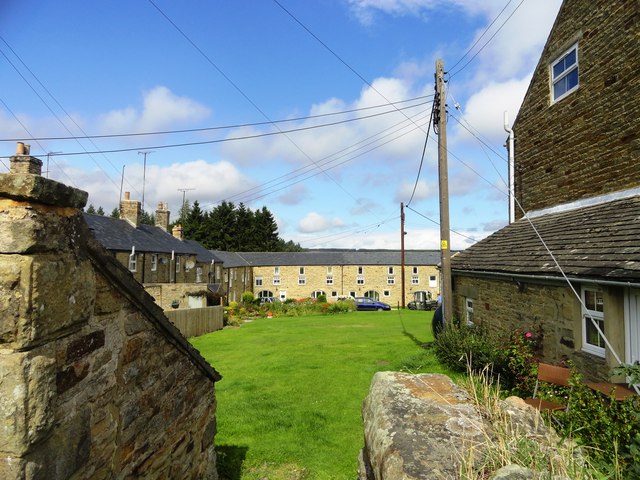
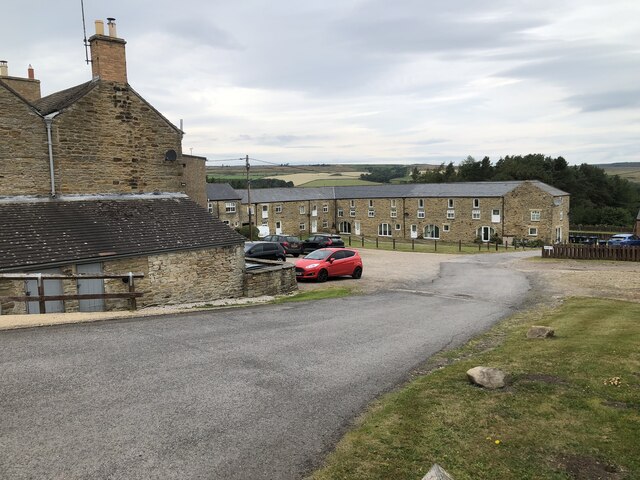
"Most of the houses in this hamlet are built around a village green. It was built for workers for the nearby Ruffside Hall estate. Dates from the early to mid 19th century and appears on the first Ordnance Survey map of 1863, where, interestingly, it is spelt "Roughside"." Photo by Robert Graham, 2013. -
Owner
Robert Graham -
Source
Geograph (Geograph) -
License
What does this mean? Creative Commons License
-
Further information
Link: http://www.geograph.org.uk/photo/3677199
Resource type: Image
Added by: Simon Cotterill
Last modified: 3 years, 8 months ago
Viewed: 513 times
Picture Taken: 2013-08-21 -
Co-Curate tags


