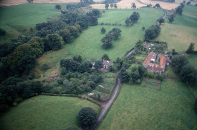
Aerial view of Boothby, near Lanercost


-
Description
"Aerial view of the settlement of Boothby between Lanercost and Brampton (Taken around 1977). The line of trees to the left of the photo is Quarry Beck woods. The lane branching left from the main road leads to Boothby Sawmill (now a stone cutting mill)." Photo by Jonathan Adams, 1977. -
Owner
Jonathan Adams -
Source
Geograph (Geograph) -
License
What does this mean? Creative Commons License
-
Further information
Link: http://www.geograph.org.uk/photo/455987
Resource type: Image
Added by: Simon Cotterill
Last modified: 4 years, 5 months ago
Viewed: 650 times
Picture Taken: 1977-05-31 -
Co-Curate tags


