Hethpool Linn

-
Description
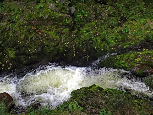
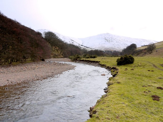
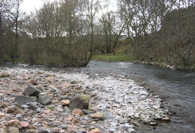
"The narrow gorge where the College Burn is constrained on the north by the steep southern slope of The Bell, and to the south by the higher slopes of Newton Tors, is certainly impressive, particularly when the burn is in flood, and this part of the burn is often taken as the location of Hethpool Linn [[5535041]]. However, in Northumberland the names, Linn, Lin or Lynn are usually reserved for a single waterfall like that shown on the modern OS map which lies some 80m west of the modern footbridge [[1739629]]. It is hidden by vegetation and lies below steep slippery rocky slopes, meaning that the waterfall is often rather heard than seen [[6347756]] 'There is, about three-quarters of a mile south-west of the church [St Gregory's, Kirknewton], and about the middle of the River College, a prodigious precipice, called Hethpool Linn, where the whole river falls for more than the height of 40 yards, and makes a prodigious noise.' Materials for the history of Northumberland by John Horsley (1869). The Duke of Northumberland's sponsored surveyor of archaeological remains, Henry MacLauchlan (1867), describes the pools at Hethpool Linn, which together with the hill fort of Great Hetha, provided the hamlet of Hethpool with its name. His description of the waterfall is clearly based on observation. 'The pool is at a gorge', he writes, 'a little below the house, and retains its Celtic name, Lynn; it is a convenient pass, and possibly has been frequently contested; here the Elsdon Burn falls into the College river. There is a pool both above and below the small fall in the College at this spot; the rock which crosses the stream here has said to have been worn away within the recollection of persons still living, so that there may have been once greater reason to consider it remarkable than at present.' The early OS mapping does little to help; on the first edition map published in 1866, the single waterfall (shown here) is not indicated other than by a constriction in the south bank of the burn, and the name, given as 'Heathpool Linn', clearly refers to the site of the gorge east of the modern footbridge, where St Cuthbert's Way crosses the College Burn. Interestingly, this is also where a parish boundary ('face of wall') descends from The Bell and then follows the stream itself to the west. Elsdon Burn [[1739661]], passing behind Hethpool Manor, is unnamed, but did at that time enter the College close to the waterfall shown in this photo, as described by MacLauchlan. This was the case until 1924 where the Elsdon Burn appears to have taken a shortcut to join much further west as it does today. On the 1897 map, the western waterfall is indicated, but the name Heathpool Linn remains stubbornly to the east. Later maps show that the place-name eventually moves to the west applying to the gorge both upstream and downstream from the footbridge. By 1982 and on modern mapping, however, it is explicitly applied to the location shown here, with a line across the burn described as 'Hethpool Lin [or Linn] (Waterfall)'. I've not been able to resolve this problem of location but it doesn't really matter. The upstream waterfall is much more difficult (and dangerous) to access, while the gorge and rapids downstream are pretty and usually a safer place for a picnic or even for a spot for wild swimming. The Dictionary of the Scots Language http://www.dsl.ac.uk/entry/snd/linn_n1_v has three meanings for Linn as a noun: a waterfall, cataract, cascade of water; a precipice, ravine, a deep and narrow gorge; a pool in a river, specifically under a fall. All three would fit here." Photo by Andrew Curtis, 2017. -
Owner
Andrew Curtis -
Source
Geograph (Geograph) -
License
What does this mean? Creative Commons License
-
Further information
Link: http://www.geograph.org.uk/photo/5535061
Resource type: Image
Added by: Simon Cotterill
Last modified: 4 years, 11 months ago
Viewed: 810 times
Picture Taken: 2017-09-10 -
Co-Curate tags


