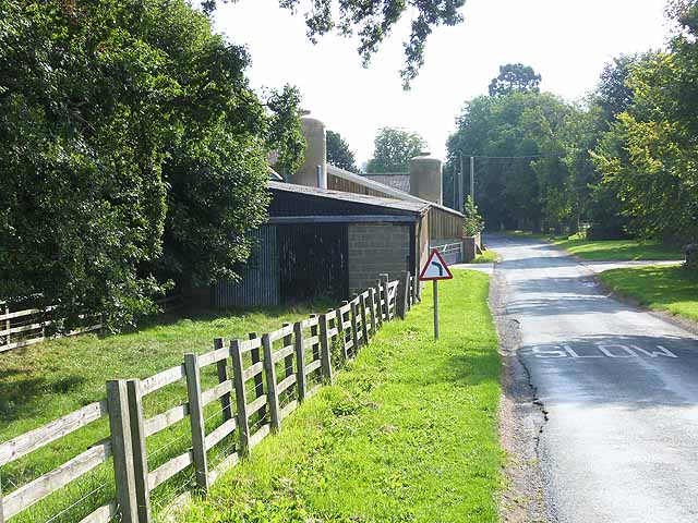
Medieval moated manorial site of Low Dinsdale at the Manor House

-
Description
"....The monument includes a medieval manorial site and related earthworks situated within a double moated enclosure on flat land which rises gently to the west and slopes down to the River Tees on the north. The inner enclosure is roughly circular in shape and is defined by a prominent ditch 15m across and 1m deep. It encloses a flat island which measures 50m east-west by 40m north-south. An entrance way, via a Listed Grade II late medieval bridge on the south-east side of the moat, may represent the position of an original causeway or drawbridge giving access to the island. The site of the medieval manor house is located at the southern end of the island. Although encased and extended, the medieval core of the main block survives in the fabric of the present house, a Listed Grade II* building. Excavations in the late 19th century uncovered the foundations and lower vaulted storey of a gatehouse to the south-east of the present house...." -
Owner
Historic England -
Source
Local (Co-Curate) -
License
What does this mean? Unknown license check permission to reuse
-
Further information
Link: https://historicengland.org.uk/listing/the-list/list-entry/1007715
Resource type: Text/Website
Added by: Simon Cotterill
Last modified: 5 years, 2 months ago
Viewed: 459 times
Picture Taken: Unknown -
Co-Curate tags


