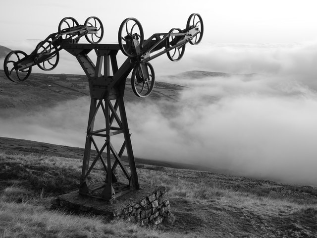
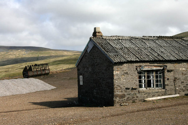
The route of Silverband Mine aerial ropeway

-
Description
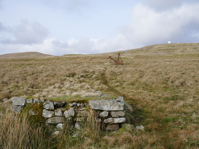
"An aerial ropeway pylon foundation is in the foreground with two toppled pylons in the middle distance. Great Dun Fell NATS radar/comms station radome can be noted on the horizon." Photo by James T M Towill, 2019. -
Owner
James T M Towill -
Source
Geograph (Geograph) -
License
What does this mean? Creative Commons License
-
Further information
Link: http://www.geograph.org.uk/photo/6107458
Resource type: Image
Added by: Simon Cotterill
Last modified: 5 years, 3 months ago
Viewed: 468 times
Picture Taken: 2019-03-23 -
Co-Curate tags


