Pylon line of the Silverband Mine

-
Description
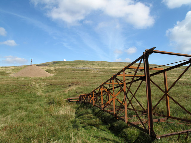
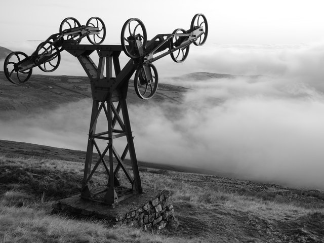
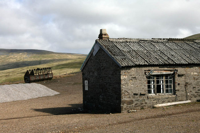
"The Silverband Mine was active on the west side of Great Dun Fell as late as the 1980's when the pylons seen here carried an aerial ropeway by which mined ore was transported from the workings. The summit of Great Dun Fell is at the 'golf ball' on the skyline which is a civil aviation radar installation." Photo by Trevor Littlewood, 2009. -
Owner
Trevor Littlewood -
Source
Geograph (Geograph) -
License
What does this mean? Creative Commons License
-
Further information
Link: http://www.geograph.org.uk/photo/2183267
Resource type: Image
Added by: Simon Cotterill
Last modified: 5 years, 7 months ago
Viewed: 544 times
Picture Taken: 2009-09-11 -
Co-Curate tags


