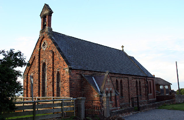
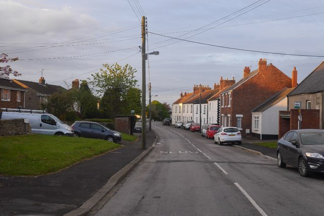
St. Francis' Church, Hutton Henry

-
Description
"St. Francis' Church first appears on the second edition Ordnance Survey maps of 1894-1899. The church was built around 1867 just prior to the establishment of the nearby colliery site. On modern aerial photographs the church seems to occupy the same footprint as marked on the OS maps, with streetview images showing that the apsidal eastern end of the church is constructed of red brick that looks much more modern than the fabric of the rest of the church. There is a gabled porch on the western end...." -
Owner
Keys to the Past (Durham & Northumbria County Councils) -
Source
Local (Co-Curate) -
License
What does this mean? Unknown license check permission to reuse
-
Further information
Link: https://keystothepast.info/search-records/results-of-search/results-of-search-2/site-details/?PRN=D49377
Resource type: Text/Website
Added by: Simon Cotterill
Last modified: 5 years, 8 months ago
Viewed: 648 times
Picture Taken: Unknown -
Co-Curate tags


