Habitancvm (Roman Fort) at Risingham


-
Description
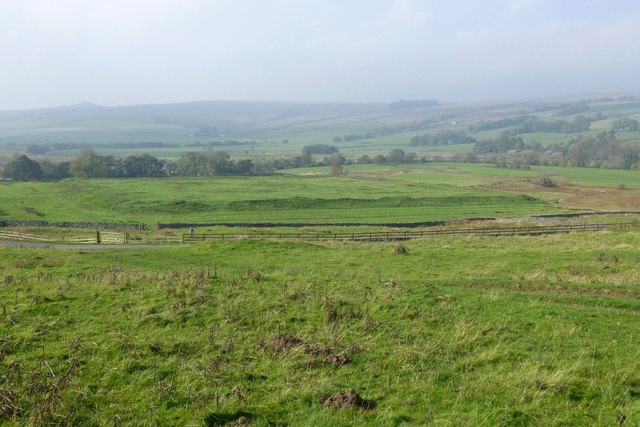
"The fort was one of the defensive structures built along Dere Street, a Roman road running from York to Corbridge and onwards to Melrose. The fort occupies a low mound overlooking the River Rede. It is oblong in shape and measures 450 feet (140 m) north to south, and 400 feet (120 m) east to west, giving an area of just over 4 acres (16,000 m2). It was surrounded by a number of ditches, which can still be seen on the south and west sides. https://en.wikipedia.org/wiki/Habitancum" Photo by Russel Wills, 2018. -
Owner
Russel Wills -
Source
Geograph (Geograph) -
License
What does this mean? Creative Commons License
-
Further information
Link: http://www.geograph.org.uk/photo/5938438
Resource type: Image
Added by: Simon Cotterill
Last modified: 6 years, 1 month ago
Viewed: 653 times
Picture Taken: 2018-10-11 -
Co-Curate tags


