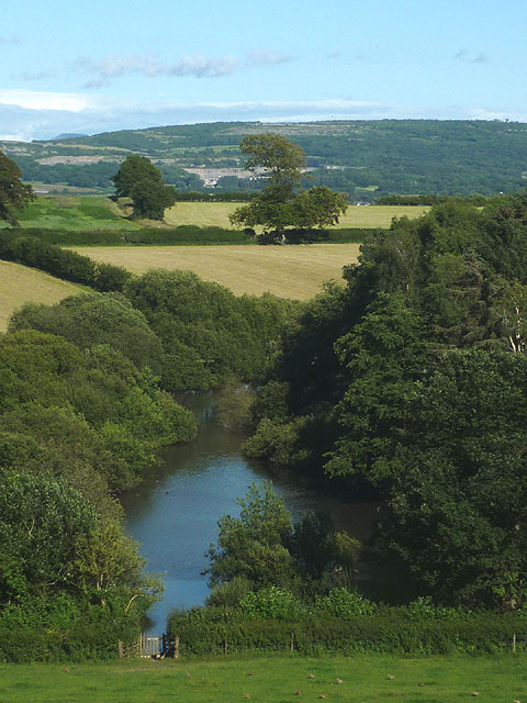
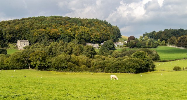
Tarn near Haverbrack

-
Description
"Just south of the hamlet is this considerable pond which is unnamed on the map. It sits in an enclosed depression which may be a solutional feature (there are several examples in the area such as [[3308365]] and [[13979]]). On the other hand, it could be formed in a hollow between drumlins." Photo by Karl and Ali, 2015. -
Owner
Karl and Ali -
Source
Geograph (Geograph) -
License
What does this mean? Creative Commons License
-
Further information
Link: http://www.geograph.org.uk/photo/4585784
Resource type: Image
Added by: Simon Cotterill
Last modified: 5 years, 9 months ago
Viewed: 598 times
Picture Taken: 2015-07-25 -
Co-Curate tags


