DONALD'S GRAVE, ON SOUTH SIDE OF ROAD 10 METRES EAST OF TRACK TO SLALEY HALL - List Entry


-
Description
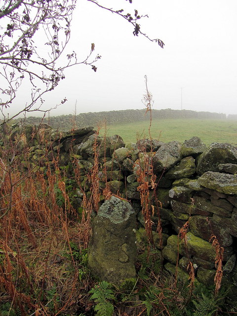
"Probable boundary marker, C18 or perhaps a reworking of a more ancient stone. Gritstone. Roughly-cut monolith of trapezoidal plan, exposed height 0.9 metres. East face with incised B; north face with remains of incised design, possibly a cross within a circle; west face incised A (laid sideways) and S...." -
Owner
Historic England -
Source
Local (Co-Curate) -
License
What does this mean? Unknown license check permission to reuse
-
Further information
Link: https://historicengland.org.uk/listing/the-list/list-entry/1045376
Resource type: Text/Website
Added by: Simon Cotterill
Last modified: 7 years, 1 month ago
Viewed: 594 times
Picture Taken: Unknown -
Co-Curate tags


