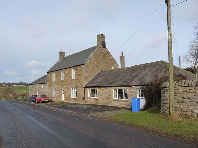
Long Witton Colliery

-
Description
"This probable 19th century colliery was shown as disused on the third edition Ordnance Survey map of 1921. There were colliery buildings and miners' cottages and, to the north and west, a number of coal shafts can be seen on aerial photographs,....." -
Owner
Keys to the Past (Durham & Northumbria County Councils) -
Source
Local (Co-Curate) -
License
What does this mean? Unknown license check permission to reuse
-
Further information
Link: https://keystothepast.info/search-records/results-of-search/results-of-search-2/site-details/?PRN=N10471
Resource type: Text/Website
Added by: Simon Cotterill
Last modified: 6 years, 9 months ago
Viewed: 542 times
Picture Taken: Unknown -
Co-Curate tags


