Meander in Stanley Burn
         
    
        - 
                                Description
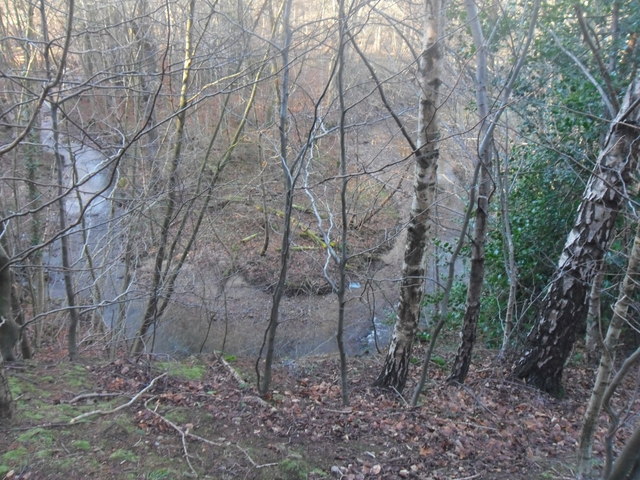
"Stanley Burn is the boundary between the historic counties of Northumberland and Durham. Stanleyburn Wood is open access land managed by the Woodland Trust." Photo by Anthony Foster, 2013.
- 
                            OwnerAnthony Foster
- 
                            SourceGeograph (Geograph)
- 
                            LicenseWhat does this mean? Creative Commons License  
- 
                            Further informationLink: http://www.geograph.org.uk/photo/3340429
 Resource type: Image
 Added by: Simon Cotterill
 Last modified: 6 years, 10 months ago
 Viewed: 551 times
 Picture Taken: 2013-02-02
- 
                            Co-Curate tags


                                    