Topics > Geography > Rivers > River Rede > Rattenraw Burn
Rattenraw Burn
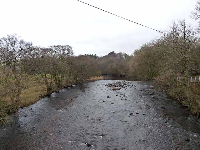
Rattenraw Burn is a tributory of the River Rede in Northumberland. The burn joins the River Rede noth-east of Rattenraw (farm).


Co-Curate Page
Rattenraw
- Overview Map Rattenraw is a farm, located about 2½ miles north-west of Otterburn in Northumberland. It is situated by Rattenraw Burn, shortly before it's confluence with the River Rede. Rattenraw …
Co-Curate Page
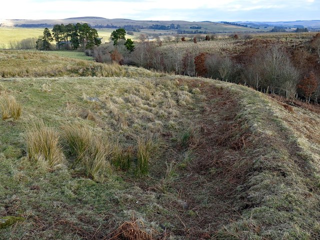
Romano-British farmstead, west of Rattenraw
- Overview Map The remains of a Romano-British farmstead are situated on a south facing slope above Rattenraw Burn, located about 330m west of Rattenraw (farm). The remains are relatively well-preserved …

Co-Curate Page
Rattenraw
- Overview Map Rattenraw is a farm, located about 2½ miles north-west of Otterburn in Northumberland. It is situated by Rattenraw Burn, shortly before it's confluence with the River Rede. Rattenraw …