Topics > Tees Valley > Priestfields
Priestfields
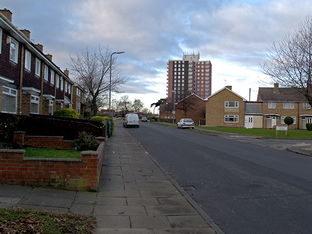
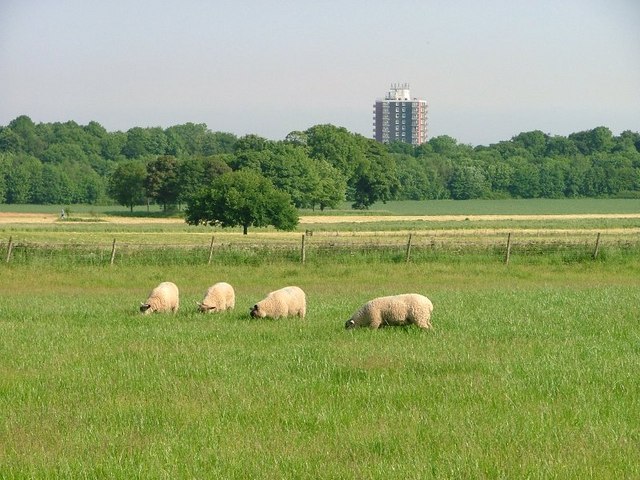
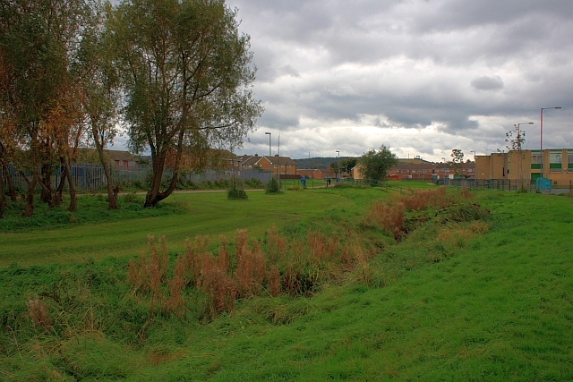
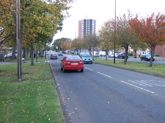
Priestfields is an area of Middlesbrough, located to the north-west of Ormesby and east of Park End. Middle Beck (stream) flows through the area and the land around it forms part of a green corridor through Middlesbrough. There are several shops by Ormesby Road and Glastonbury House, on Lindisfarne Road, is a 16 storey towerblock which is prominent on the local skyline. Pennyman Woods are located to the south of Ladgate Lane.

from https://www.heritagegateway.o…
Glastonbury House -
- Historic England Research Records: "...A sixteen-storey tower block built as public housing, consisting of 91 dwellings in total. Construction was approved by committee in 1966.
More information : The block …
Added by
Splat

from https://www.heritagegateway.o…
Glastonbury House -
- Historic England Research Records: "...A sixteen-storey tower block built as public housing, consisting of 91 dwellings in total. Construction was approved by committee in 1966.
More information : The block …
Added by
Splat