Topics > Civil Parishes in Cumbria > Preston Richard Civil Parish
Preston Richard Civil Parish
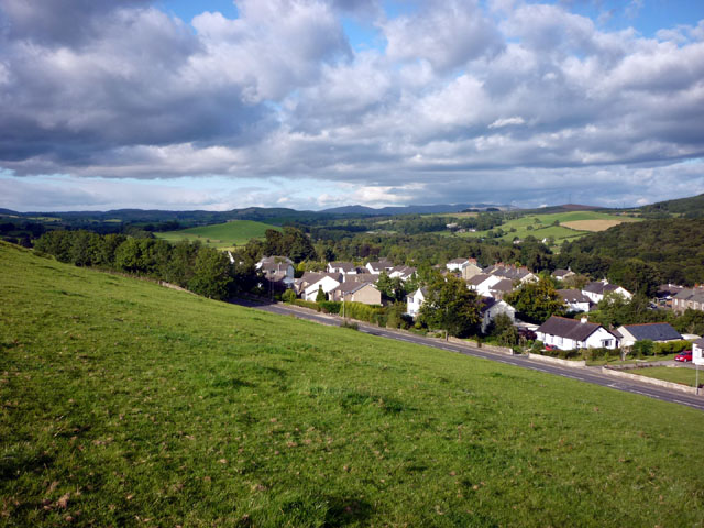
Preston Richard is a civil parish in the South Lakeland district of Cumbria. Within the parish is the village of Endmoor and the smaller settlements of Crooklands, Birkrigg Park, Low Park, Milton, and Summerlands. Preston Richard had a population of 1,251 recorded in the 2011 Census. Historically, Preston Richard was a township in the ancient Parish of Heversham.
Area: 8.6 km²
Population:
1,251 (2021 Census)
1,305 (2011 Census)
1,307 (2001 Census)
PRESTON-RICHARD, a township, in the parish of Heversham, union and ward of Kendal, county of Westmorland, 6 miles (W.N.W.) from Kirkby-Lonsdale; containing 355 inhabitants. The Kendal canal passes through the township, and on its banks are several coke-ovens, and a large coal-wharf. At Birkrigg is a burial-ground, formerly belonging to the Society of Friends, but now disused. At End-Moor an antique hammer-head of stone was found in 1770.
Extract from: A Topographical Dictionary of England comprising the several counties, cities, boroughs, corporate and market towns, parishes, and townships..... 7th Edition, by Samuel Lewis, London, 1848.
Co-Curate Page
Endmoor
- Overview About Endmoor Map Street View Endmoor is a village in the South Lakeland district of Cumbria, located just under 5 miles south-east of Kendal. The village is part of …


Co-Curate Page
Crooklands, Cumbria
- Overview Map Street View Crooklands is a hamlet in Cumbria, located on the A65 road, about 5 miles south of Kendal and 1 mile south of the village of Endmoor. …
Co-Curate Page
Birkrigg Park, Cumbria
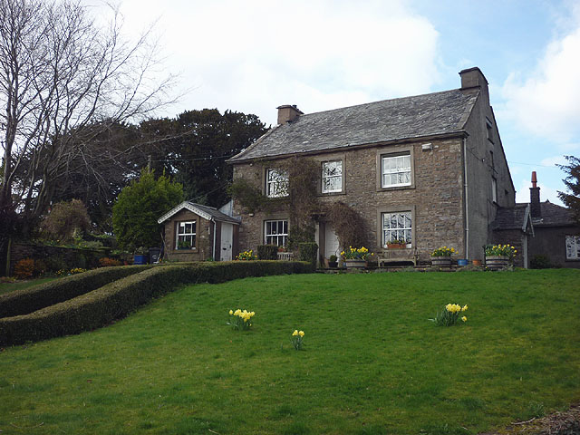
- Overview Map Street View Birkrigg Park is a hamlet in Cumbria, located about 3 miles south of Kendal and half mile north-east of the larger hamlet of Summerlands. The farmhouse …

Co-Curate Page
Endmoor
- Overview About Endmoor Map Street View Endmoor is a village in the South Lakeland district of Cumbria, located just under 5 miles south-east of Kendal. The village is part of …
Co-Curate Page
Crooklands, Cumbria
- Overview Map Street View Crooklands is a hamlet in Cumbria, located on the A65 road, about 5 miles south of Kendal and 1 mile south of the village of Endmoor. …


")


