Topics > Tees Valley > Stockton-on-Tees > Port Clarence
Port Clarence
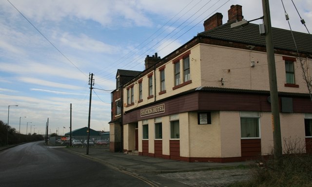
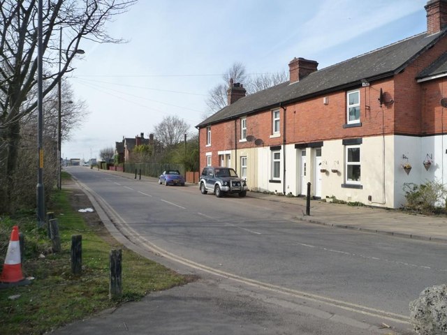 Port Clarence, formerly known as Samphire Batts, is a small village within the borough of Stockton-on-Tees. It is situated on the north banks of the River Tees, and is the location of the north end of the Tees Transporter Bridge. A port was built here in the 19th century to give local colliery owners better access to the North Sea for shipping coal; the Clarence Railway was built by 1833 to connect Stockton to the newly developed port. "The area has a strong history of immigration from Ireland, with many travellers settling in the village between 1900 to 1920, particularly from counties Tyrone, Monaghan and Wicklow. They arrived to work in the local steel and chemical industries..." (Wikipedia)
CLARENCE-PORT, a small port, in the parish of Billingham, union of Stockton, N.E. division of Stockton ward, county of Durham. This port was lately formed, at the base of Haverton Hill, on the north of the river Tees, near its mouth, for the greater facility of shipping the coal conveyed by the Clarence railway. The quantity of coal averages 400,000 tons annually; and by means of four drops constructed for the purpose, 81 keels can be loaded in the short space of twelve hours.
Extract from: A Topographical Dictionary of England comprising the several counties, cities, boroughs, corporate and market towns, parishes, and townships..... 7th Edition, by Samuel Lewis, London, 1848.
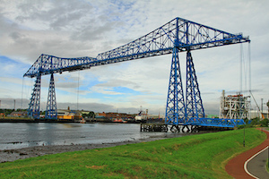
Port Clarence is a small village now within the borough of Stockton-on-Tees and ceremonial county of County Durham, England. It is situated on the north bank of the River Tees, and hosts the northern end of the Middlesbrough Transporter Bridge.
History
Formerly known as Samphire Batts, it is situated on the River Tees. As the Industrial Revolution took shape and ships got bigger, access to Stockton became harder, and so colliery owners needed better access to the North Sea.
19th century
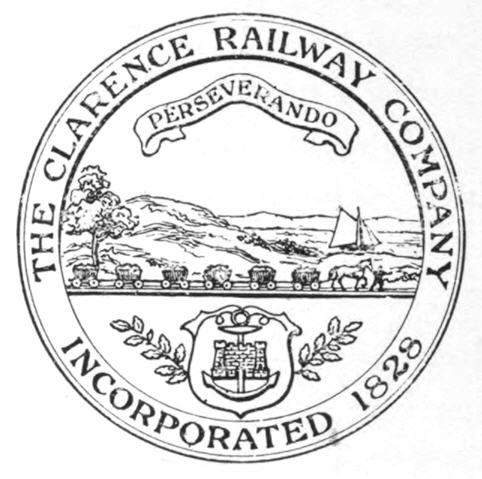
Investors created the Clarence Railway which connected Stockton to the newly developed port at Samphire Batts, and also Haverton Hill, a upstream. The village was hence renamed after the port. Meanwhile, its great rival the Stockton and Darlington Railway extended to Middlesbrough, on the opposite side of the river. The S&DR extension was completed by 1830, while the CR was completed by 1833. The opening of the railways provided the stimulus for the growth of both Middlesbrough and Port Clarence. Prior to the opening of the railway, ship access to Port Clarence was very slow and difficult, often taking as long to carry the coal to the port, as it had to sail from the port to London.
However, the CR shared rail track owned by the S&DR near to the County Durham coal mines and never made a profit due to the restrictions and fees imposed by the owners of the S&DR and eventually the PCR was taken over by the Stockton and Hartlepool Railway, a subsidiary of the Hartlepool Docks and Railway Company, to allow quicker onward shipment via new docks at Hartlepool.
20th century
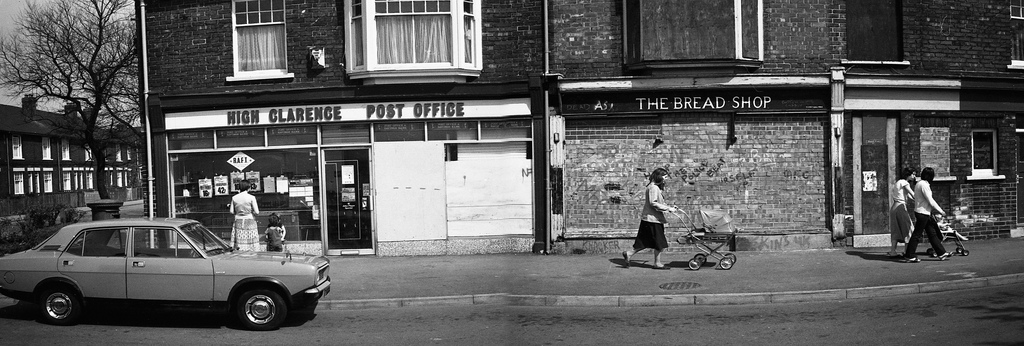
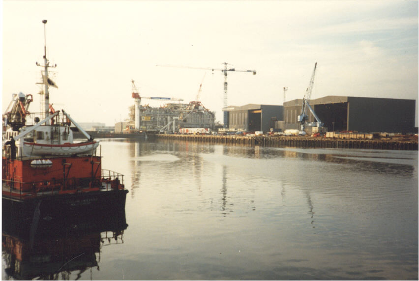
The area has a strong history of immigration from Ireland, with many travellers settling in the village between 1900 to 1920, particularly from counties Tyrone, Monaghan and Wicklow. They arrived to work in the local steel and chemical industries, as well as the local Furness Shipyards.
Present
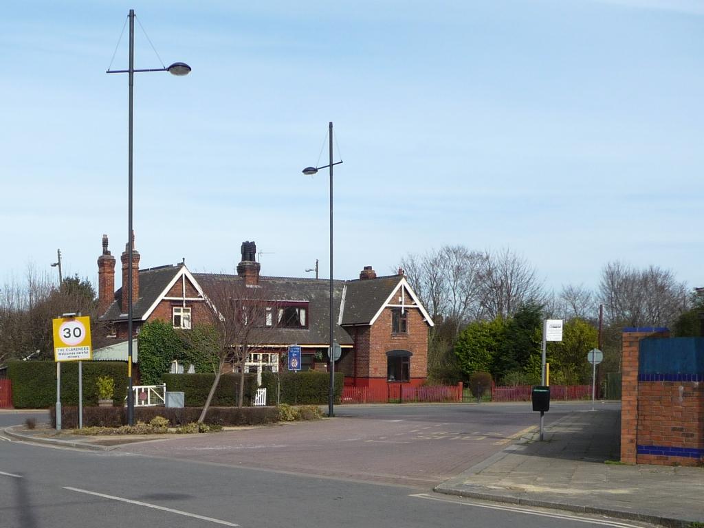
It is served by the Stagecoach service 1 between Hartlepool and Middlesbrough. The A1046 links the village to Stockton and Middlesbrough (via the Newport Bridge) in the west and the A178 links to Hartlepool and Middlesbrough (via the Transporter Bridge) in the east.
Three hundred homes in Port Clarence were evacuated in December 2013 after the Tees burst its bank.
Visit the page: Port Clarence for references and further details. You can contribute to this article on Wikipedia.


Co-Curate Page
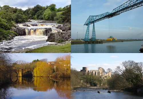
Tees Transporter Bridge
- Overview History Facts & Figures Map Street View The Tees Transporter Bridge was opened on the 17th October 1911 by Prince Arthur of Connaught. The bridge over the River Tees connects Middlesbrough, on the south bank, …
Co-Curate Page
River Tees
- Overview Bridges Further Information The Tees is one of the major rivers in the North of England. It rises on Cross Fell in the North Pennines, and flows 137 km …
from IllustratedChronicles (flickr)
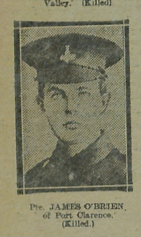
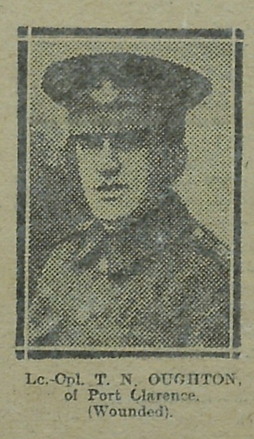
James O'Brien - Port Clarence (Killed)
Pinned by Simon Cotterill


from https://commons.wikimedia.org…
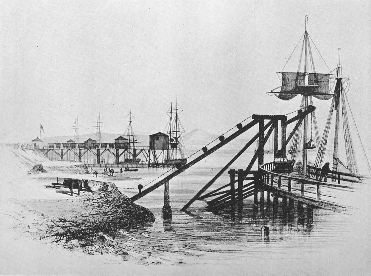
The 'drops' at Port Clarence, used for transferring coal from trains onto ships c.1915
- Engraved by T.H. Hair in Tomlinson, William Weaver (1915) The North Eastern Railway; its rise and development, p. 238. Public Domain image c/o Wikimedia Commons.
Added by
Simon Cotterill

Co-Curate Page
Tees Transporter Bridge
- Overview History Facts & Figures Map Street View The Tees Transporter Bridge was opened on the 17th October 1911 by Prince Arthur of Connaught. The bridge over the River Tees connects Middlesbrough, on the south bank, …
Co-Curate Page
River Tees
- Overview Bridges Further Information The Tees is one of the major rivers in the North of England. It rises on Cross Fell in the North Pennines, and flows 137 km …
from IllustratedChronicles (flickr)
James O'Brien - Port Clarence (Killed)
Pinned by Simon Cotterill
from https://commons.wikimedia.org…
The 'drops' at Port Clarence, used for transferring coal from trains onto ships c.1915
- Engraved by T.H. Hair in Tomlinson, William Weaver (1915) The North Eastern Railway; its rise and development, p. 238. Public Domain image c/o Wikimedia Commons.
Added by
Simon Cotterill


.jpg)