Topics > Tyne and Wear > North Tyneside > Whitley Bay > St Mary's Island and Lighthouse > Pillbox, St Mary's Island
Pillbox, St Mary's Island
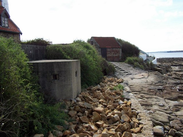
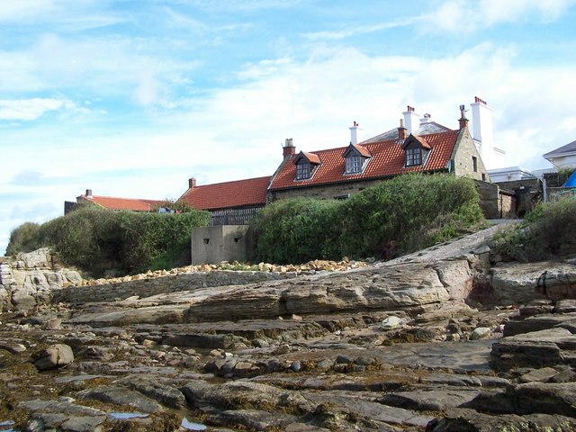
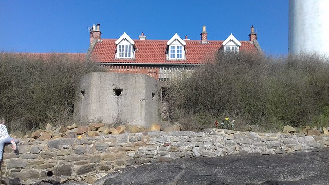
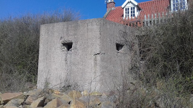
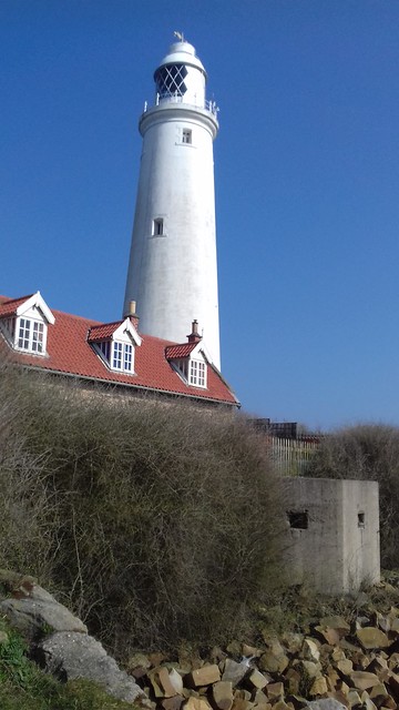
On the western side of St Mary's Island, facing towards the causway and Curry's Point, is a concrete World War 2 pillbox built into the rocks. Constructed 1940-1.[1]

from http://twsitelines.info/SMR/1…
Tyne and Wear HER(1791): St. Mary's Island, Pillbox
- "Hexagonal concrete pillbox of Second World War origin. In good condition. Constructed 1940-1".
Added by
Simon Cotterill
Co-Curate Page
St Mary's Island and Lighthouse
- A Brief History About the Island About the Lighthouse Map Street View St Mary’s Island is a tidal island located off Curry's Point to the north of Whitley Bay, accessed by …
Co-Curate Page
Pillboxes
- Pillboxes were heavily protected, reinforced concrete defensive positions designed to house infantry and light artillery. Over 20,000 built in Britain during the Second World War, under the threat of invasion, …


Tyne & Wear HER: 1791


