Topics > Tyne and Wear > Sunderland > Penshaw
Penshaw
Extract from: A Topographical Dictionary of England comprising the several counties, cities, boroughs, corporate and market towns, parishes, and townships..... 7th Edition, by Samuel Lewis, London, 1848.
The village of Penshaw , formerly known as Painshaw or Pensher, is an area of the metropolitan district of the City of Sunderland, in Tyne and Wear, England. Historically in County Durham, it derives its name from the Cumbric Pen, meaning hill or ridge, and the Saxon Shaw, a wood or thicket; thus Penshaw is the wooded hill.
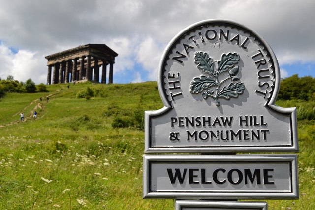
Penshaw is well-known locally for Penshaw Monument, a prominent landmark built in 1844 atop Penshaw Hill, which is a half-scale replica of the Temple of Hephaestus in Athens. Owing to its proximity to Durham City, the area was allocated a Durham postcode, DH4, which forms part of the Houghton-le-Spring post town. It lies about three miles north of Houghton-le-Spring, just over the River Wear from Washington. It borders Herrington Country Park and is surrounded by a series of villages: Herrington, Shiney Row, Biddick, Coxgreen and Offerton.
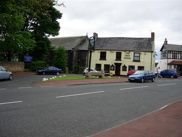
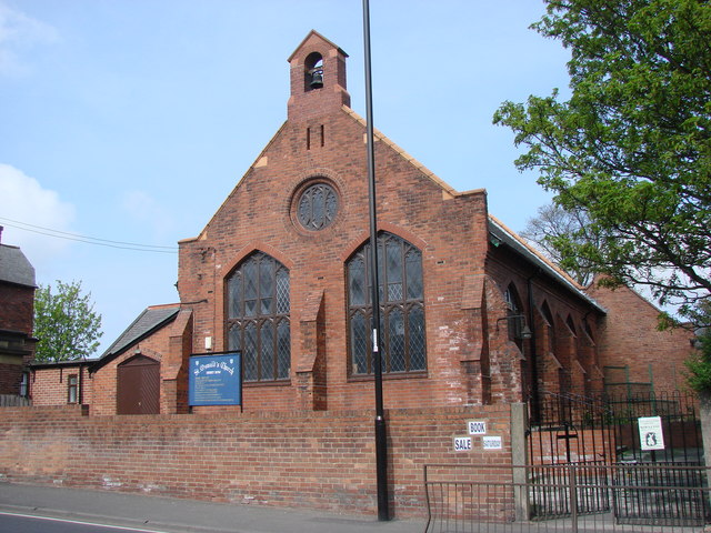
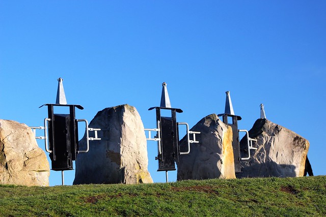
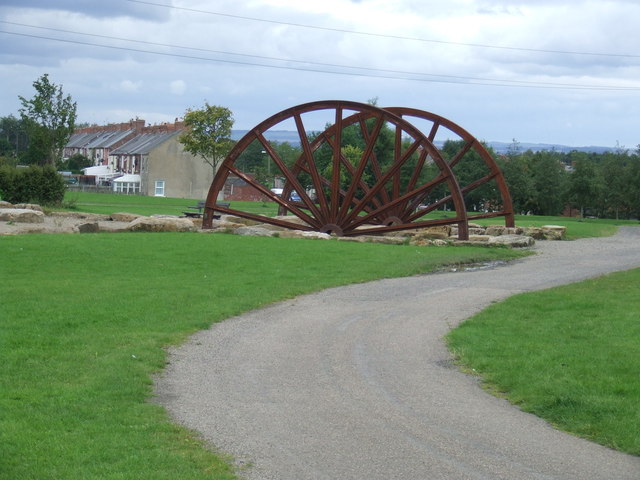
In terms of leisure amenities, Herrington Country Park is easily accessible and the Park contains a well-used young person's play area, a performance bowl, a skateboard park, a lake with extensive wildlife and a memorial site to Herrington Colliery which once mined the site for coal. The country park also holds many events like the county show which includes dog shows, face painting,bouncy castles etc. There are three public houses, The Prospect (original name recently restored), The Monument (formerly The Ship) and The Grey Horse. Though no working men's club remains, a Catholic club is situated on Station Rd. There are three Chinese takeaway facilities, Peach Garden, Mandarin Palace and Oriental House and an Indian restaurant and takeaway, the Penshaw Tandoori. Community facilities include Penshaw Community Centre and All Saints' Church Hall; both organise regular spring and summer events. In the village, at the foot of Penshaw Hill, is Penshaw Riding School. At the centre of Barnwell is an extensive playing field and young person's play area. Penshaw also has three primary schools within comfortable walking distance of each other, Barnwell, New Penshaw and Our Lady Queen of Peace Roman Catholic.
There are two annual events for children, an easter egg rolling competition on Penshaw Hill (the Penshaw Egg Bowl), and a scarecrow hunt [http://www.penshawcommunityassociation.org.uk/ScarecrowTrailEvent.html] organised by the village community.
An annual cross-country event takes place in June each year when Sunderland Harriers stage the Penshaw Hill Race with a presentation to the winner and runners up in The Monument public house after the race.
There are extensive views from the top of Penshaw Hill on a clear day: Durham Cathedral to the South West, the coast of Roker and Seaburn to the East and the Cheviot Hills to the North.
The Hill, as it is known locally, also overlooks Wearside Golf Club, a long-established golf club originating in 1892 and Sunderland AFC's Stadium of Light can also be seen clearly from here.
from Geograph (geograph)
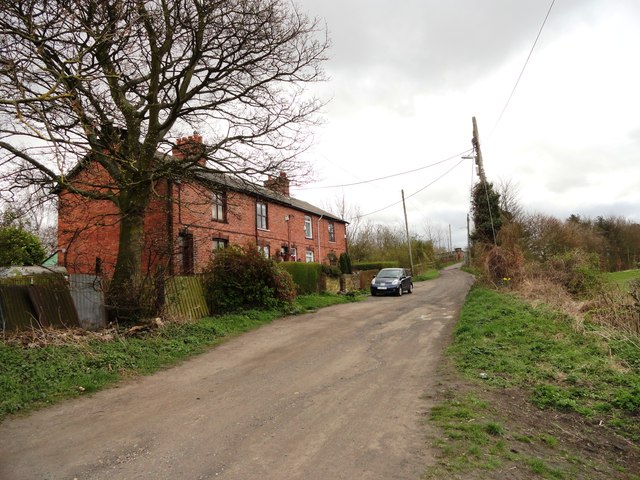
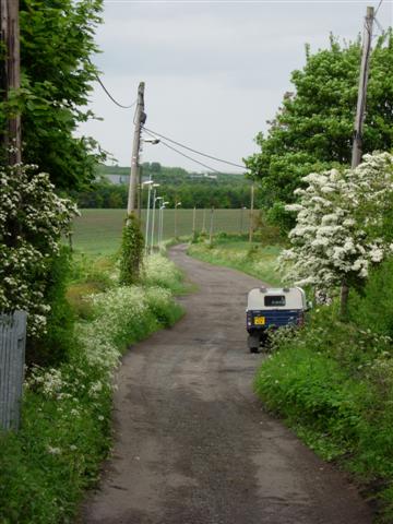
Unadopted road to Low Lambton Farm (old wagonway)
Pinned by Simon Cotterill
Co-Curate Page
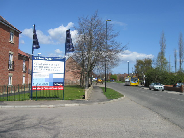
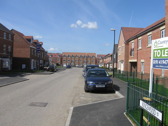
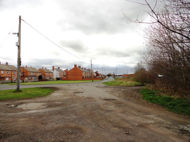
Shiney Row
- Overview About Shiney Row Map Street View Shiney Row is a village in Houghton-le-Spring, Tyne and Wear. The village enjoys good travel links with not just the rest of …
Co-Curate Page
Penshaw Monument
- Overview History and Further Details Map Street View The Earl of Durham's Monument, better known as the Penshaw Monument, was built in 1844 on Penshaw Hill. The folly is a …
Co-Curate Page
Herrington Country Park
- Overview About Herrington Country Park Map Street View Herrington Country Park ia a large country park and public open space adjacent to the Pehshaw Monument in Sunderland. The park was …

from Geograph (geograph)
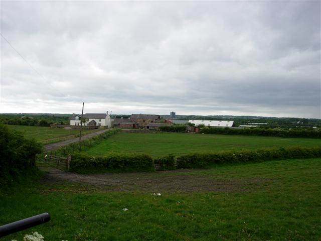
Unadopted road to Low Lambton Farm (old wagonway)
Pinned by Simon Cotterill
Co-Curate Page
Shiney Row
- Overview About Shiney Row Map Street View Shiney Row is a village in Houghton-le-Spring, Tyne and Wear. The village enjoys good travel links with not just the rest of …
Co-Curate Page
Penshaw Monument
- Overview History and Further Details Map Street View The Earl of Durham's Monument, better known as the Penshaw Monument, was built in 1844 on Penshaw Hill. The folly is a …