Topics > Northumberland > Civil Parishes in Northumberland > Allendale Civil Parish > Allendale Parish, 1848 > Park (grieveship), Allendale
Park (grieveship), Allendale
PARK, a grieveship, in the parish of Allendale, union of Hexham, S. division of Tindale ward and of Northumberland; containing 275 inhabitants.
Extract from: A Topographical Dictionary of England comprising the several counties, cities, boroughs, corporate and market towns, parishes, and townships..... 7th Edition, by Samuel Lewis, London, 1848.
The 1860 Northumberland Farms Index (Northumberland Archives) includes the following under Park grieveship: Crawberry Hill, Farstile, Hag, Hagburngate, High Green Dike, High Parkgates, High Studdon, High Wooley, Hollin Close, Holms, Laneside, Loaningside, Low Green Dike, Low Parkgates, Low Steel, Nettle Hill, New Shield, Nine Dargue, Park, Peckriding Mill, Shield Hill, Steel, Steel Woodhead, Studdon, Studdon Dean, Studdon Park, Throstle, Viewley, Woodheads, Wooley, Wooley Green, Wooley High House, and Wooley Park. Whellan's 1855 directory also lists Crowberry Hall under the greiveship of Park.
Co-Curate Page
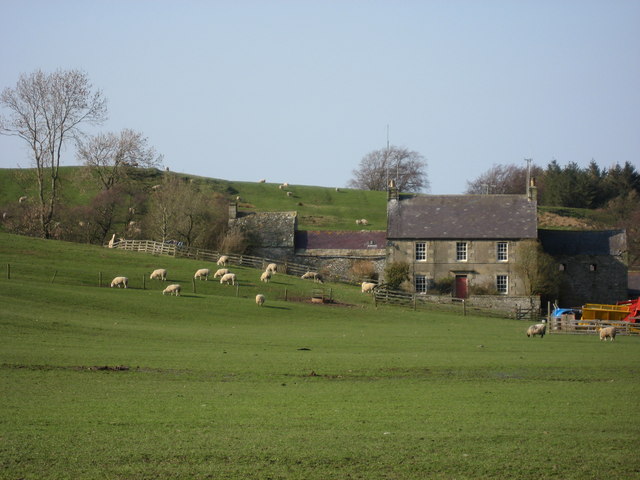
Park Farm, Allendale
- Overview Map Street View Park Farm is located about 1½ miles south of Allendale Town. It is situated by the west banks of the River East Allen, close to where …

Co-Curate Page
Crowberry Hall
- Overview Map Crowberry Hall is located about 2 miles south of Allendale Town, situated to the west of the River East Allen. Crowberry Burn (aka Crawberry Burn) flows nearby, joining …

Co-Curate Page
Park Farm, Allendale
- Overview Map Street View Park Farm is located about 1½ miles south of Allendale Town. It is situated by the west banks of the River East Allen, close to where …
Co-Curate Page
Crowberry Hall
- Overview Map Crowberry Hall is located about 2 miles south of Allendale Town, situated to the west of the River East Allen. Crowberry Burn (aka Crawberry Burn) flows nearby, joining …


Grid ref:
NY835532
")


