Topics > Landmarks, Parks and Buildings > Bridges > Packhorse Bridge
Packhorse Bridge
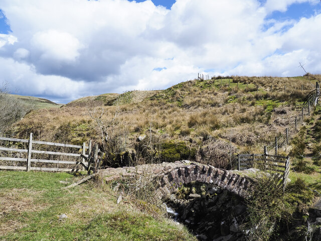
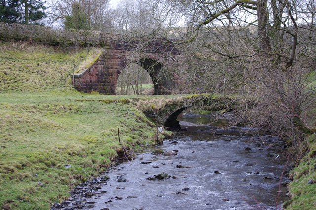
Packhorse bridges are narrow bridges which were often built the trade routes (aka 'packhorse routes') used for trade and transport before turnpike roads and canals were established in the 18th century. They are typically one horse wide, with low parapets, so as not to interfere with the panniers (bags for transporting goods) carried by horses.
Co-Curate Page
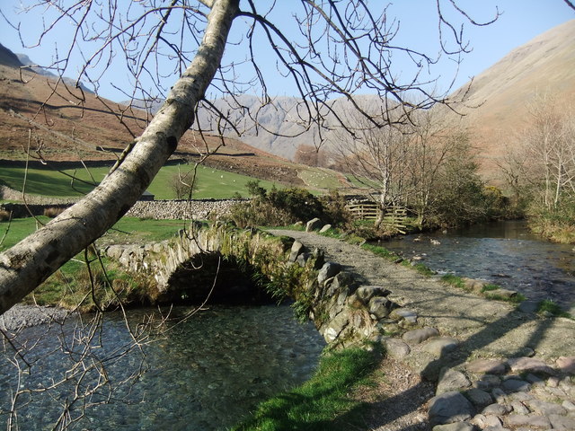
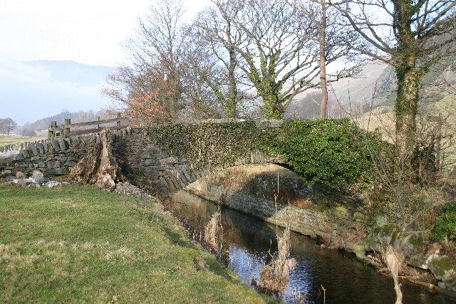
Packhorse Bridge, Wasdale Head
- Overview Map Street View Row Bridge, usually referred to as "Packhorse Bridge", is an c.18th century footbridge over Mosedale Beck. It is located in Wasdale Head, a short distance north …
Co-Curate Page
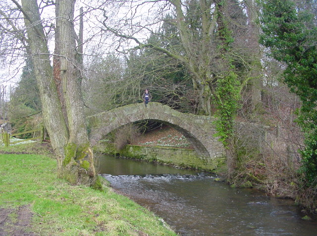
Packhorse Bridge by Bram Crag
- Overview Map Street View The old stone packhorse bridge over St John's Beck, now a footbridge, is located by Bram Crag (farm) near St John's in the Vale. The hump-backed …
Co-Curate Page
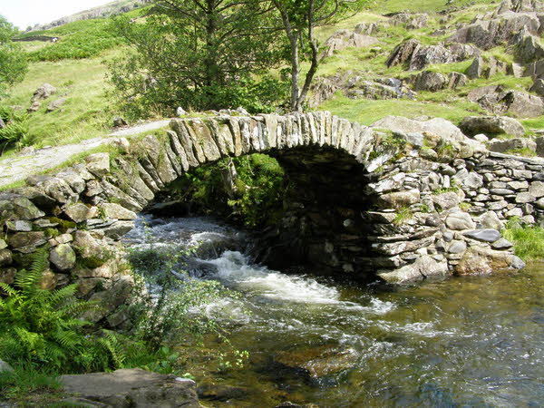
Packhorse Bridge, Ivegill
- Overview Map Street View This humped-back foot bridge over the River Ive at Ivegill is a former packhorse bridge, thought to date from the early 18th century.[1] The bridge is …
Co-Curate Page
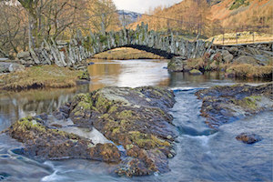
High Sweden Bridge, Ambleside
- Overview Map Street View High Sweden Bridge is a 17th century packhorse bridge over Scandale Beck, located just over 1 mile north of Ambleside. A road named Sweden Bridge Lane …
Co-Curate Page
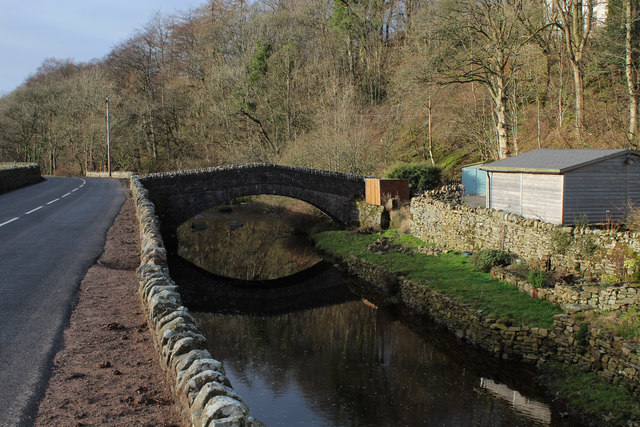
Slater's Bridge, Little Langdale
- Overview Map Street View Slater's Bridge is a 17th century packhorse bridge that crosses the River Brathay in Little Langdale. It is built of slate and natural boulders. A large …
Co-Curate Page
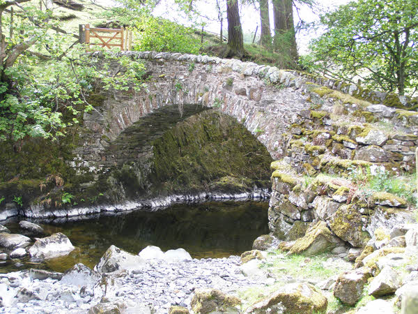
Ben's Bridge, Garsdale
- Overview Map Street View Ben's Bridge is a former packhorse bridge over Clough River, in Garsdale, located off Hawes Road (A684), near Dandra Garth. The bridge is though to date …
Co-Curate Page
Parish Crag Bridge over Swindale Beck
- Overview Map Parish Crag Bridge is an 18th century Packhorse bridge over Swindale Beck, located about 1½ miles north-west of the village of Shap. The bridge has a single segmental …


Co-Curate Page
Packhorse Bridge, Wasdale Head
- Overview Map Street View Row Bridge, usually referred to as "Packhorse Bridge", is an c.18th century footbridge over Mosedale Beck. It is located in Wasdale Head, a short distance north …

Co-Curate Page
Packhorse Bridge by Bram Crag
- Overview Map Street View The old stone packhorse bridge over St John's Beck, now a footbridge, is located by Bram Crag (farm) near St John's in the Vale. The hump-backed …

Co-Curate Page
Packhorse Bridge, Ivegill
- Overview Map Street View This humped-back foot bridge over the River Ive at Ivegill is a former packhorse bridge, thought to date from the early 18th century.[1] The bridge is …

Co-Curate Page
High Sweden Bridge, Ambleside
- Overview Map Street View High Sweden Bridge is a 17th century packhorse bridge over Scandale Beck, located just over 1 mile north of Ambleside. A road named Sweden Bridge Lane …

Co-Curate Page
Slater's Bridge, Little Langdale
- Overview Map Street View Slater's Bridge is a 17th century packhorse bridge that crosses the River Brathay in Little Langdale. It is built of slate and natural boulders. A large …

Co-Curate Page
Ben's Bridge, Garsdale
- Overview Map Street View Ben's Bridge is a former packhorse bridge over Clough River, in Garsdale, located off Hawes Road (A684), near Dandra Garth. The bridge is though to date …

