Topics > Geography > Rivers > River Rede > Otter Burn (river)

Otter Burn (river)


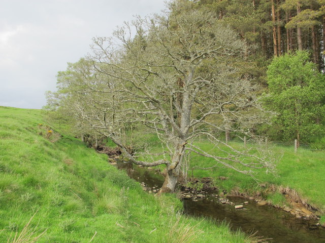
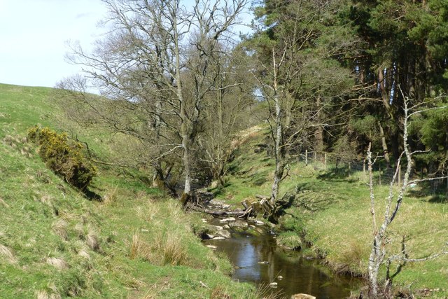
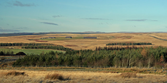
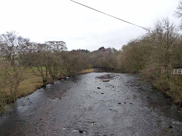
The Otter Burn is a small river in Northumberland, which is a tributary of the River Rede. The Otter Burn is 9 km long and has a catchment area of 17.6 km2.[1] The burn arises near Greymare Rigg and flows roughly southwards through Otterburn Camp, and joins the River Rede at the village of Otterburn.

River Rede Otterburn
from Geograph (geograph)
The Otter Burn

Pinned by Simon Cotterill
from Geograph (geograph)
Otter Burn

Pinned by Simon Cotterill
from Geograph (geograph)
Barracker Sike

Pinned by Simon Cotterill
from Geograph (geograph)
Looking across the Otter Burn

Pinned by Simon Cotterill
from http://environment.data.gov.u…
Otter Burn Catchment (trib of Rede)

Added by
Simon Cotterill

Comments

Add a comment or share a memory.

Login to add a comment. Sign-up if you don't already have an account.


ABOUT US

Co-Curate is a project which brings together online collections, museums, universities, schools and community groups to make and re-make stories and images from North East England and Cumbria. Co-Curate is a trans-disciplinary project that will open up 'official' museum and 'un-officia'l co-created community-based collections and archives through innovative collaborative approaches using social media and open archives/data.

LATEST SHARED RESOURCES