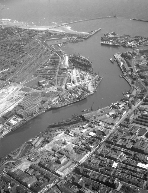
Topics > Tyne and Wear > Sunderland > Sunderland City Centre > Old Sunderland Conservation Area
Old Sunderland Conservation Area
%
Note: Map data from Sunderland City Council c/o Open Data UK, under the Open Government Licence, imported into Google MyMaps, February 2026. Check with SCC for amendments and updates.

Co-Curate Page
Church of Holy Trinity
- Overview About Holy Trinity Church Map Street View Holy Trinity opened in 1719 as the church for the newly created Parish of Sunderland. The church played a major part in …