Topics > Geography > Rivers > Streams, Becks and Burns > North Low (river)
North Low (river)
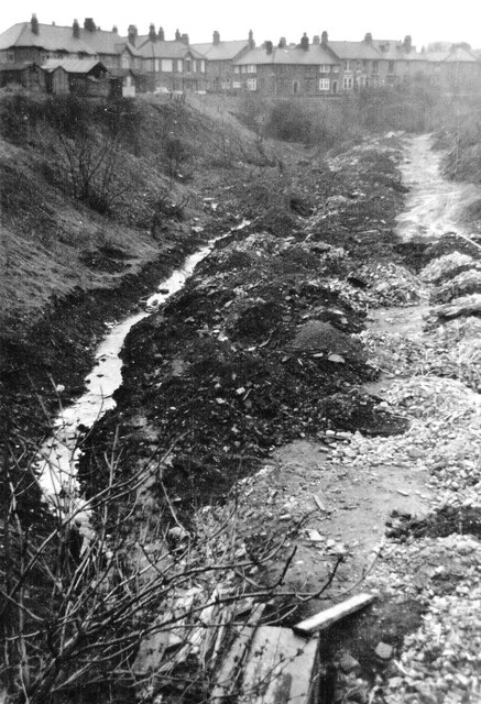
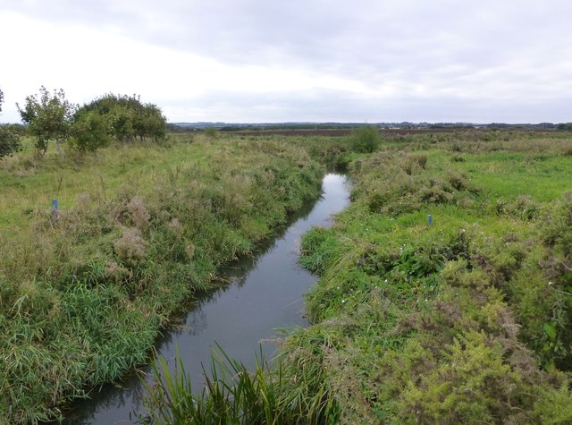
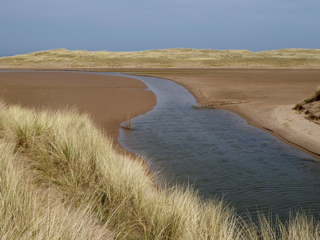
North Low is a river in Northumberland, which discharges into the North Sea at Goswick. The North Low, including it's tributaries, is approximately 20km long. Berrington Burn is one of it's main tributaries.

from https://environment.data.gov.…
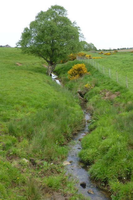
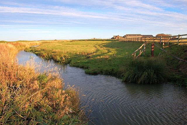
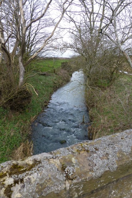
North Low from Source to Berrington Burn Water Body
Added by
Simon Cotterill
from https://environment.data.gov.…
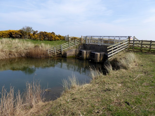
North Low from Berrington Burn to N Sea Water Body
Added by
Simon Cotterill
Co-Curate Page
Goswick
- Overview About Goswick Map Street View Goswick is a hamlet on the Northumberland coast, located about 6 miles south-west of Berwick-upon-Tweed and adjacent to Goswick Sands, which connect with Holy …

from https://environment.data.gov.…
North Low from Source to Berrington Burn Water Body
Added by
Simon Cotterill
from https://environment.data.gov.…
North Low from Berrington Burn to N Sea Water Body
Added by
Simon Cotterill
Co-Curate Page
Goswick
- Overview About Goswick Map Street View Goswick is a hamlet on the Northumberland coast, located about 6 miles south-west of Berwick-upon-Tweed and adjacent to Goswick Sands, which connect with Holy …