Topics > Northumberland > Goswick
Goswick
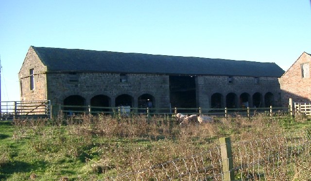
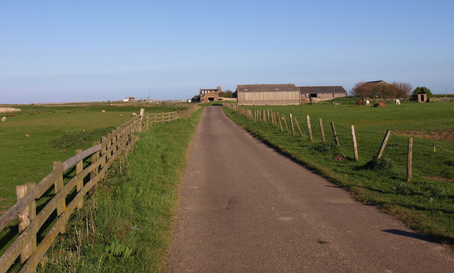
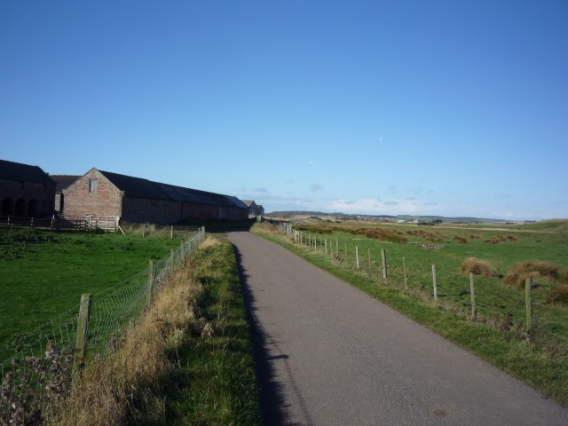
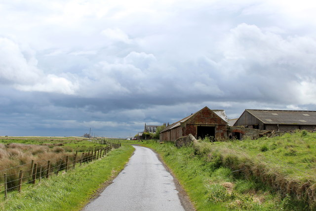
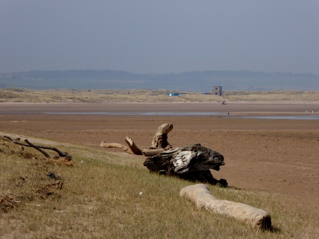
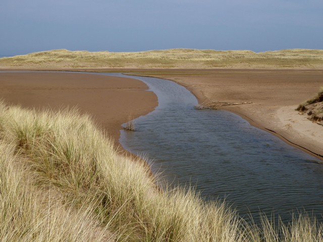
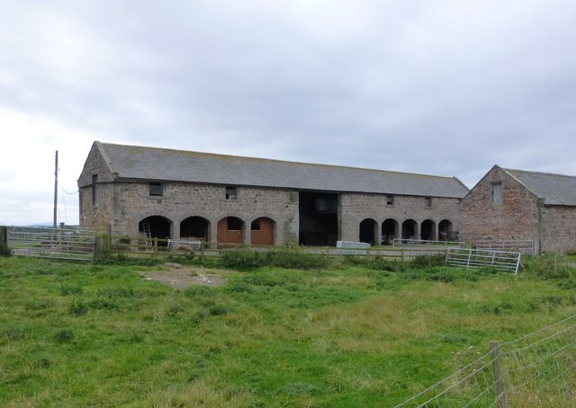
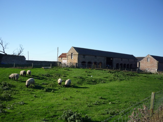
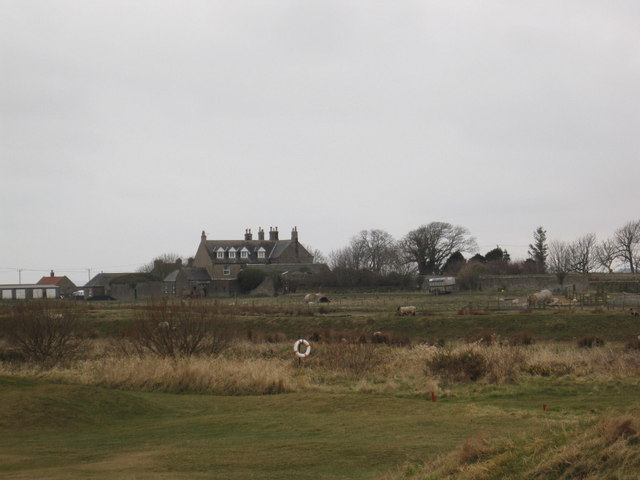
Goswick is a hamlet on the Northumberland coast, located about 6 miles south-west of Berwick-upon-Tweed and adjacent to Goswick Sands, which connect with Holy Island. The North Low (river) discharges into the North Sea here. There is a golf club, located on Goswick Links and the there is a campsite. In the past there was a railway station at Goswick, and in 1947 there was a disaster here when the Edinburgh to London express derailed and 28 people were killed.[1]
Extract from: A Topographical Dictionary of England comprising the several counties, cities, boroughs, corporate and market towns, parishes, and townships..... 7th Edition, by Samuel Lewis, London, 1848.
Goswick is a hamlet and farm situated in Norhamshire, although belonging to Holy Island, from which it is distant five miles North by West - lying upon a bay, or small inlet, of the sea, where there is a public house for the accommodation of fishermen and persons frequenting Holy Island from the north. It is six miles S by E of Berwick, and belongs to GA Askew Esq of Pallinsburn. It is supposed that this place and Fenham are retained in the parish of Holy Island, on account of their occupying the entrance to the fordable parts of the sands.
History, Directory, and Gazetteer, of the Counties of Durham and Northumberland, 1828
Goswick is a hamlet in Northumberland, England, situated approximately south-east of Berwick-upon-Tweed, England, between the A1 and the North Sea coast.
History
Goswick station
Goswick station was opened in November 1870 when it was known as Windmill Hill Station, but it was renamed Goswick station on 1 January 1898. It was part of the East Coast Main Line (ECML) which ran from London to Edinburgh.
In 1907 Goswick was the site of an Express Goods train derailment.
From 5 May 1941 until 7 October 1946 the station was closed to passengers as part of the World War II economy measures.
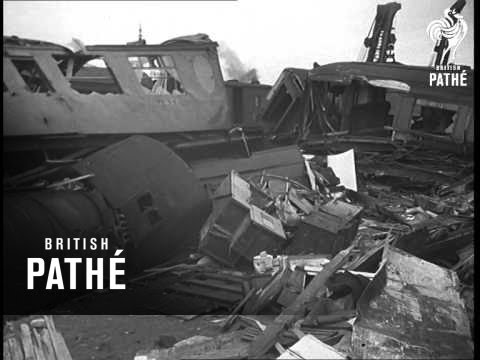
On 26 October 1947 it was the site of the Goswick rail crash in which 28 people were killed and 65 injured when an Edinburgh to London express was derailed.
On 28 October 1953 a 'Glasgow to Colchester' train was derailed and one person was injured.
On 15 September 1958 the station was closed to passengers, and on 10 August 1964 it was closed for Goods trains. Finally the signal box was closed on 24 March 1982.
Governance
Goswick is in the parliamentary constituency of Berwick-upon-Tweed.
Geography
Goswick is approximately 5 miles south of Berwick-upon-Tweed and adjacent to Goswick Sands which connect with Lindisfarne (Holy Island). The island is approximately 10 miles by road but only 2 miles walk along the footpath, across the Goswick sands and along the Holy Island causeway.
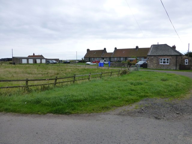
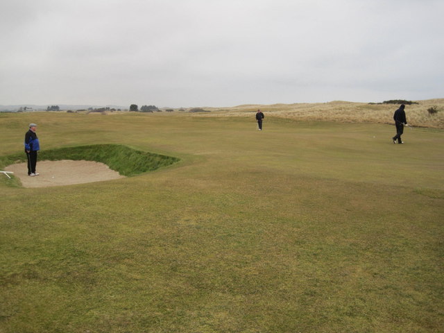
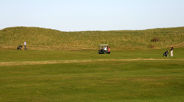
The Goswick Links golf club, the Beachcomber campsite and residents of the 12 houses enjoy the North Sea beaches and views across the sands to Lindisfarne (Holy Island) and Lindisfarne Castle.
Co-Curate Page
Holy Island
- Overview History Timeline Map Street View The Holy Island of Lindisfarne is a tidal island located about a mile off the Northumberland coast, linked to the mainland at low tide …
Co-Curate Page
Haggerston
- Overview About Haggerston Map Street View Haggerston is a small settlement in Northumberland, located near the coast, about 6 miles south-east of Berwick-upon-Tweed. Today it is best known for Haggerston …

Co-Curate Page
Holy Island
- Overview History Timeline Map Street View The Holy Island of Lindisfarne is a tidal island located about a mile off the Northumberland coast, linked to the mainland at low tide …


