Topics > Maryport > Netherhall, Maryport
Netherhall, Maryport
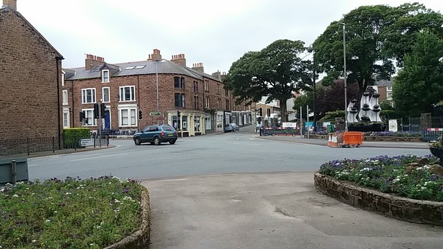
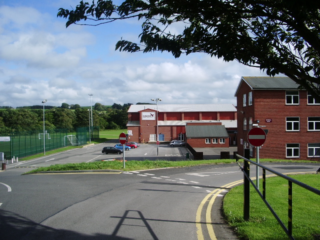
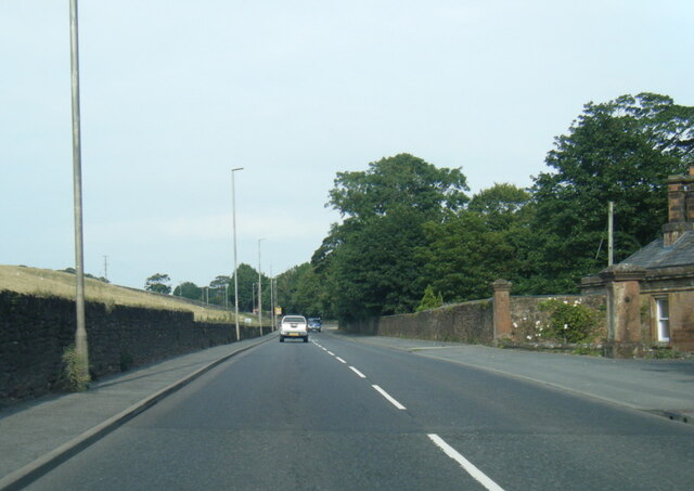
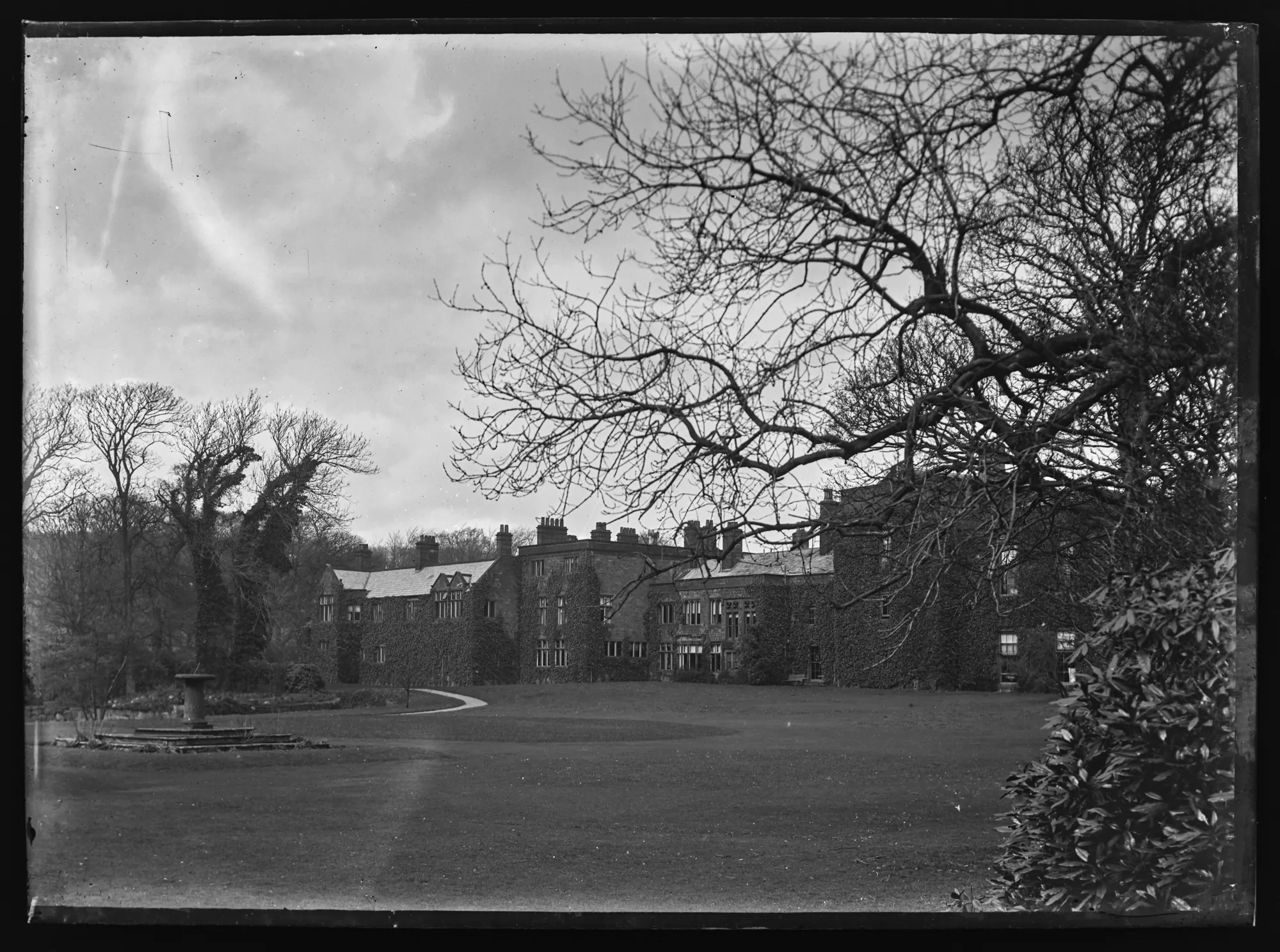
Netherhall is an area of Maryport based around the grounds of the former Nether Hall and situated near the River Ellen. The hall was a large country mansion, which incorporated a medieval pele tower, with extensive additions in the 18th and 19th century. Only the pele tower remains, after the hall was demolished in 1979. In the grounds of Netherhall Park are the earthwork remains of an earlier medieval moated site. Today, Netherhall Road is one of the main roads leading northwards from the centre of Maryport and forms part of the A596 route. Along the road are the former gatehouse lodge and gate piers to Nether Hall (both on the National Heritage List for England). In the former grounds of Nether Hall is Nertherhall School, Netherhall Sports Centre and Netherhall Rugby Union Club.