Topics > Civil Parishes in Cumbria > Eskdale Civil Parish > Muncaster Head

Muncaster Head


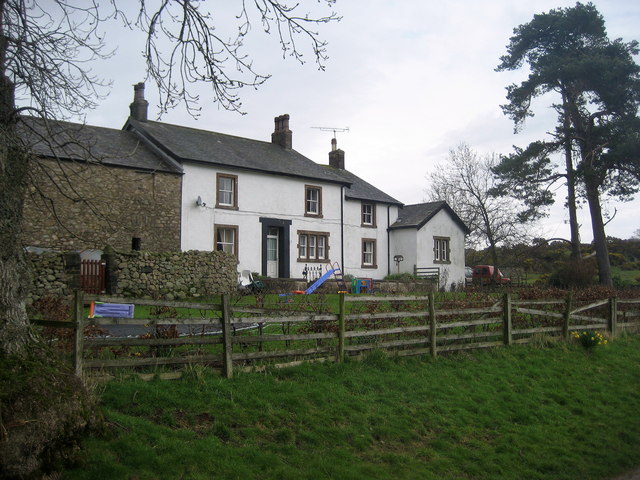
Muncaster Head is located in Eskdale (valley) about ¾mile south-east of the village of Eskdale, and 3 miles north-east of Muncaster. An iron bloomery forge was recorded at Muncaster Head in the 17th century.[1] In 1636, William Pennington of Muncaster (the land owner here) made an agreement with William Wright of Brougham, for a ironworks to be set up on a parcel of land called Tyson's Holme, by the River Esk. Presumably, Muncaster Head would have been part of the ancient parish of Muncaster. Today, Muncaster Head is part of Eskdale Civil Parish, and falls within the Cumberland Council area.

Eskdale Civil Parish Farms in Cumberland
from Geograph (geograph)
At Muncaster Head

Pinned by Simon Cotterill
from Geograph (geograph)
Muncaster Head Farm

Pinned by Simon Cotterill
from Geograph (geograph)
Farm buildings, Muncaster Head

Pinned by Simon Cotterill
from Geograph (geograph)
Farmhouse, Muncaster Head

Pinned by Simon Cotterill
from Geograph (geograph)
Approaching Muncaster Head

Pinned by Simon Cotterill

Comments

Add a comment or share a memory.

Login to add a comment. Sign-up if you don't already have an account.


Unitary Auth: Cumberland
County: Cumbria
Grid ref: SD1403598966

ABOUT US

Co-Curate is a project which brings together online collections, museums, universities, schools and community groups to make and re-make stories and images from North East England and Cumbria. Co-Curate is a trans-disciplinary project that will open up 'official' museum and 'un-officia'l co-created community-based collections and archives through innovative collaborative approaches using social media and open archives/data.

LATEST SHARED RESOURCES