Topics > Geography > Rivers > River Derwent (Tyne) > Mill Burn (Derwent)
Mill Burn (Derwent)
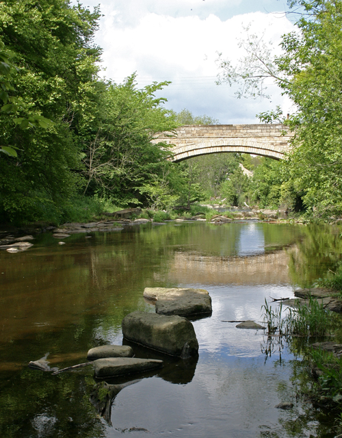
Mill Burn is a tributary of the River Derwent (Tyne). The burn arises south of Headley on the Hill. It is roughly 3 miles long and flows in a roughly south-easterly direction, through Park Woods, and joins the Derwent at Ebchester, just north of Ebchester Bridge. The wooded vally of Mill Burn is the parish bondary - the former boundary of Newlands and Hedley parishes (and now on the boundary of Shotley Low Quarter and Hedley Civil Parish).


from Geograph (geograph)
Confluence of the Mill Burn and the River Derwent
Pinned by Simon Cotterill


Co-Curate Page
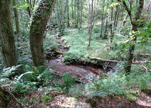
Old Parish Boundary Post, Park Wood
- There is an old parish boundary stone on the west side of Mill Burn in Park Wood, located about ½mile north-east of the hamlet of Newlands. The cut sandstone boundary …

from Geograph (geograph)
Confluence of the Mill Burn and the River Derwent
Pinned by Simon Cotterill