Topics > Historical Periods > Roman Period (43 to 409 AD) > Cumbrian Coastal Defences (Roman) > Milefortlet 17 (Dubmill Point)
Milefortlet 17 (Dubmill Point)
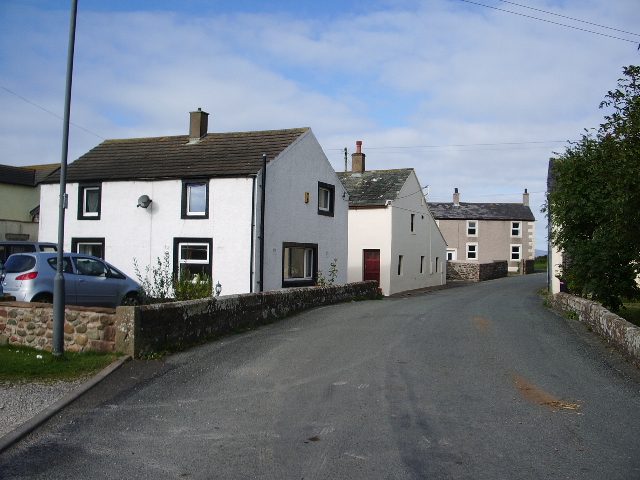
The burried remains of Milefort 17 on the Roman Cumbrian Coastal Defences are located on the western of two low parallel ridges of raised beach at Dubmill Point, about 6 miles north of Maryport and 1 mile south-west of Mawbray.
It was identified by aerial photography during the drought of 1976, which showed the outline of the broad ditch of the milefortlet, the western side of which was truncated by the B5300 and coastal erosion.
All that is visible on the ground is a slight ploughed-down depression which defines the Milecastle's broad ditch. However, aerial photographs, geophysical survey and limited excavation have shown that buried remains of Dubmill Point milefortlet 17 survive well. The site is a Scheduled Monument.

from https://historicengland.org.u…
Dubmill Point milefortlet 17, 560m WNW of Hill House, part of the Roman frontier defences along the Cumbrian coast - List Entry
- ....A combination of aerial photographs, geophysical survey and limited excavation have shown that buried remains of Dubmill Point milefortlet 17 survive well. The monument will contribute to any further study …
Added by
Simon Cotterill