Topics > Civil Parishes in Cumbria > Maryport Town Council Area
Maryport Town Council Area
Area: 13.3 km²
Population:
10,860 (2021 Census)
11,262 (2011 Census)
11,275 (2001 Census)

Co-Curate Page
Maryport
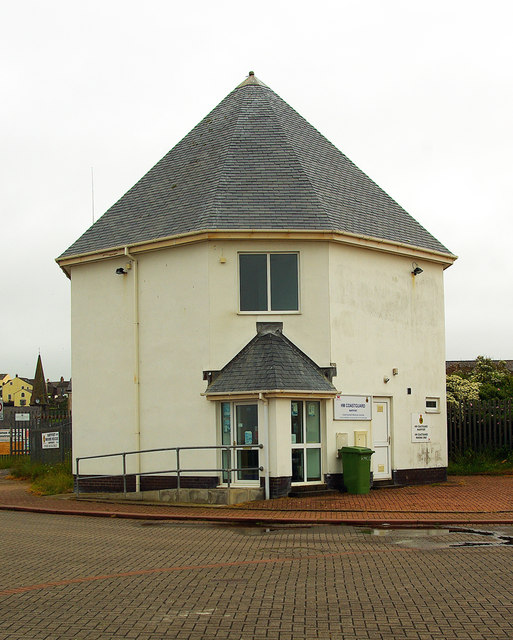
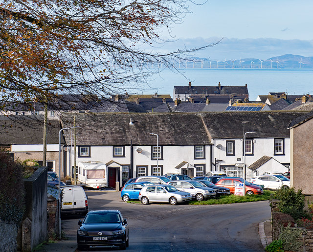
- Overview About Maryport Map Street View Maryport is a town and civil parish in the Allerdale borough of Cumbria, England. Historically in Cumberland, it is located on the A596 …
Co-Curate Page
Flimby
- Overview About Flimby Map Street View Flimby is a coastal village, located about a mile south-east of Maryport, in the Allerdale district of Cumbria. Historically, Flimby was a parish in …
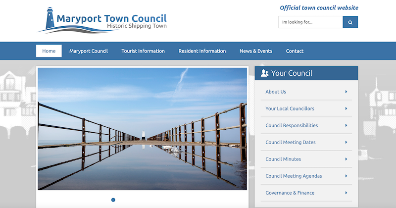
from https://www.maryporttowncounc…
Maryport Town Council
- Official Website of Maryport Town Council.
Added by
Simon Cotterill
Co-Curate Page
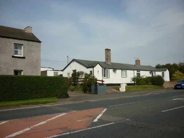
Risehow, Cumbria
- Overview Map Street View Risehow is a hamlet by the coast, located off the A595 road, between Maryport and Flimby in Cumbria. Risehow Industrial Estate is located south of the …

Co-Curate Page
Maryport
- Overview About Maryport Map Street View Maryport is a town and civil parish in the Allerdale borough of Cumbria, England. Historically in Cumberland, it is located on the A596 …
Co-Curate Page
Flimby
- Overview About Flimby Map Street View Flimby is a coastal village, located about a mile south-east of Maryport, in the Allerdale district of Cumbria. Historically, Flimby was a parish in …
from https://www.maryporttowncounc…
Maryport Town Council
- Official Website of Maryport Town Council.
Added by
Simon Cotterill
Co-Curate Page
Risehow, Cumbria
- Overview Map Street View Risehow is a hamlet by the coast, located off the A595 road, between Maryport and Flimby in Cumbria. Risehow Industrial Estate is located south of the …


Unitary Auth: Cumberland
