Topics > Geography > Rivers > River Rede > Lumsdon Burn
Lumsdon Burn
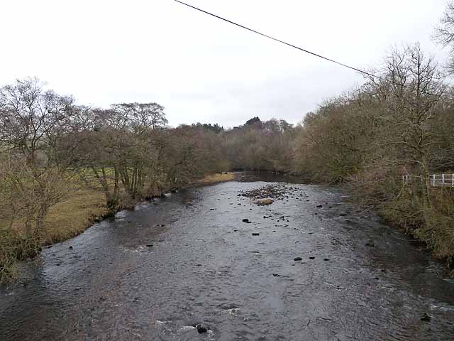
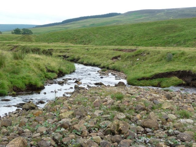
Lumsdon Burn is a tributory of the River Rede in Northumberland. It flows to the west of Lumsdon Law and joins the rede near Whitelee, about 1½ miles south of the England-Scotland border.


Co-Curate Page
Whitelee (Byrness)
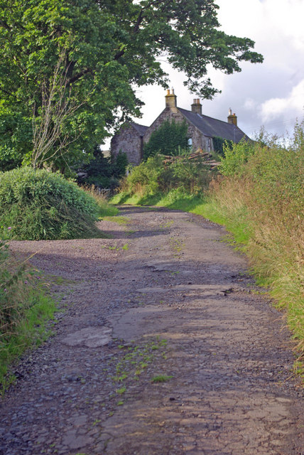
- Overview Map Street View Whitelee is a farm / hamlet in Northumberland, located about 1½ miles south-east of Carter Bar on the England-Scotland border, and 3½ miles north-west of Byrness …

Co-Curate Page
Whitelee Bridge
- Whitelee Bridge is a single arch stone bridge, which carries the A68 road over Lumsden Burn at Whitelee, about 1½ miles south-east of Carter Bar on the England-Scotland border. The …

Co-Curate Page
Whitelee (Byrness)
- Overview Map Street View Whitelee is a farm / hamlet in Northumberland, located about 1½ miles south-east of Carter Bar on the England-Scotland border, and 3½ miles north-west of Byrness …