Topics > Northumberland > Low Angerton > Low Angerton Township
Low Angerton Township
ANGERTON, LOW, a township, in the parish of Hartburn, union of Morpeth, W. division of Morpeth ward, N. division of Northumberland, 7½ miles (W. by S.) from Morpeth; containing 64 inhabitants. A branch of the Greys, of Howick, resided here in the 17th century, as tenants under the Earl of Carlisle. It comprises 1,075 acres, of which 383 are arable, 646 pasture, and 45½ wood: the river Wansbeck runs through, and is bordered by rich pastures. The village stands on a dry ridge of gravelly alluvium, with the Wansbeck on the north, and flat marshy gullies nearly round the other three sides. The tithes have been commuted for £106, payable to the vicar.
Extract from: A Topographical Dictionary of England comprising the several counties, cities, boroughs, corporate and market towns, parishes, and townships..... 7th Edition, by Samuel Lewis, London, 1848.
The 1860 Northumberland Farms Index (Northumberland Archives) lists the following under the township of Low Angerton: Angerton Moor Cottage, Angerton Station, Howlet Hall, Low Angerton, Mill Greens, and South Stead.
See the entry for Low Angerton in Whellan's 1855 directory of Northumberland.
Low Angerton became a civil parish (CP) in 1866, following the Poor Law Amendment Act. The population of Low Angerton Civil Parish was 53 in 1881, 70 in 1921, dropping to 47, by the time of the 1951 Census.[1] Low Angerton CP was abolished in 1955 and absorbed into Hartburn Civil Parish.
Co-Curate Page
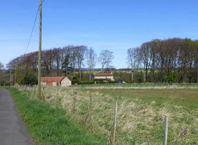
Angerton South Moor
- Overview Map Street View Angerton South Moor (aka Angertonmoor Cottage) is a former farmhouse, located about 7 miles west of Morpeth and ¾mile south-west of the hamlet of Low Angerton …

from https://www.visionofbritain.o…
Low Angerton CP/Tn
- GB Historical GIS / University of Portsmouth, Low Angerton CP/Tn through time | Census tables with data for the Parish-level Unit, A Vision of Britain through Time.
URL: https://www.visionofbritain.org.uk/unit/10299718
Date …
Added by
Simon Cotterill
Co-Curate Page
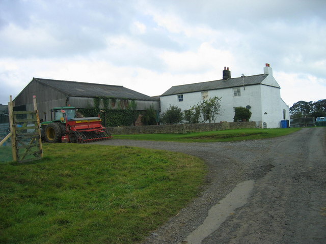
Howlet Hall (Hartburn)
- Overview Map Howlet Hall is a farm, located about 5½ miles west of Morpeth and ¾ mile south-east of Low Angerton in Northumberland. Historically, it was part of the township …

Co-Curate Page
Angerton South Moor
- Overview Map Street View Angerton South Moor (aka Angertonmoor Cottage) is a former farmhouse, located about 7 miles west of Morpeth and ¾mile south-west of the hamlet of Low Angerton …
from https://www.visionofbritain.o…
Low Angerton CP/Tn
- GB Historical GIS / University of Portsmouth, Low Angerton CP/Tn through time | Census tables with data for the Parish-level Unit, A Vision of Britain through Time.
URL: https://www.visionofbritain.org.uk/unit/10299718
Date …
Added by
Simon Cotterill
Co-Curate Page
Howlet Hall (Hartburn)
- Overview Map Howlet Hall is a farm, located about 5½ miles west of Morpeth and ¾ mile south-east of Low Angerton in Northumberland. Historically, it was part of the township …


")
