Topics > Cumbria > Loughrigg, Ambleside
Loughrigg, Ambleside
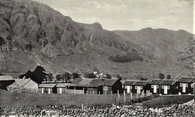
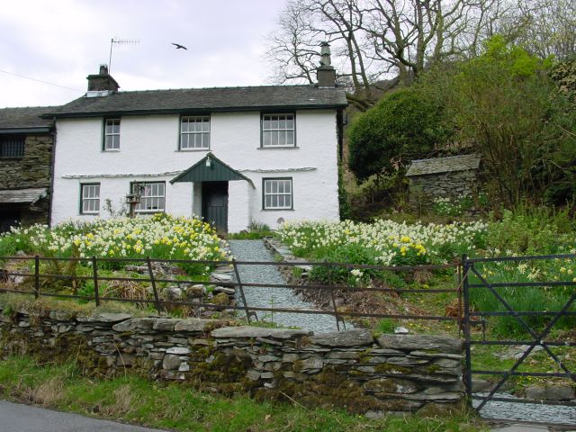
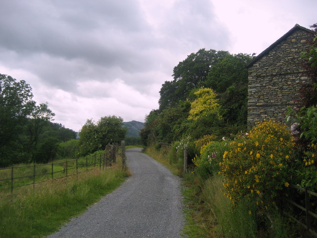
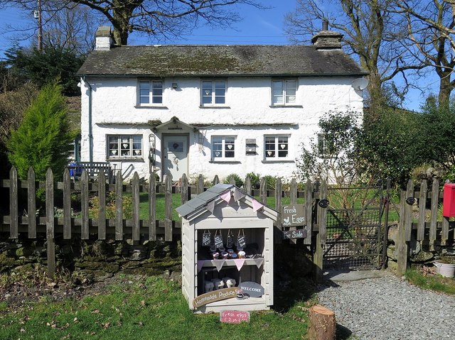
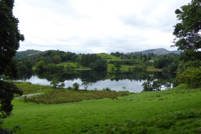
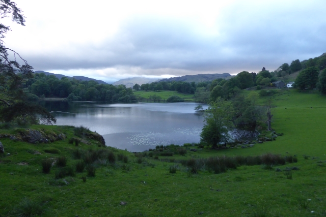
Loughrigg is a distributed hamlet by Loughrigg Tarn and Loughrigg Fell, located about 1½ miles west of Ambleside and ½ mile north-east of Skelwith Bridge. It includes a few dwellings along Ellers Brow (road), which leads up to Tarn Foot, and a few isloated properties around the Tarn. Historically, Rydal with Loughrigg was a township in the ancient parish of Grasmere in Westmorland. Today, Loughrigg forms part of Lakes Civil Parish.
Not to be confused with Loughrigg near St Bees, Cumbria.
from Geograph (geograph)
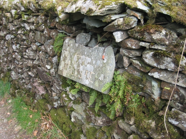
Old Guide Stone below Loughrigg Fell, Lakes Parish
Pinned by Simon Cotterill

Co-Curate Page
Rydal with Loughrigg, 1848
- RYDAL, with Loughrigg, a township, in the parish of Grasmere, union and ward of Kendal, county of Westmorland, 1½ mile (N.W.) from Ambleside; containing 343 inhabitants. The township comprises 5,201 …

from Geograph (geograph)
Old Guide Stone below Loughrigg Fell, Lakes Parish
Pinned by Simon Cotterill