Topics > Northumberland > Civil Parishes in Northumberland > Chollerton Civil Parish > Historic Buildings and Monuments in Chollerton Civil Parish
Historic Buildings and Monuments in Chollerton Civil Parish
Listed buildings and scheduled monuments in Chollerton Civil Parish, Northumberland, from the National Heritage List for England[1]. Use the Search (below) if looking for a specific building / monument.
| Structure | List No. | Grade | Built~ | Note |
|---|---|---|---|---|
| Motte and bailey castle on Money Hill | 1011418 | n/a | C11th? | Gunnerton |
| Boat House C600 Yards South of Chipchase Castle | 1044899 | II | Chipchase Castle | |
| Carriage House and Groom's Cottages to North-East of Swinburne Castle | 1303381 | II | Great Swinburn | |
| Chapel at Chipchase Castle | 1044897 | I | Chipchase Castle | |
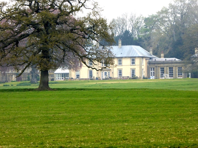
| Chipchase Castle | 1155161 | I | C17th | Chipchase Castle near Wark-on-Tyne |
| Chollerton Farm Cottage C 70 Yards North-East of Farmhouse | 1370491 | II | Chollerton | |
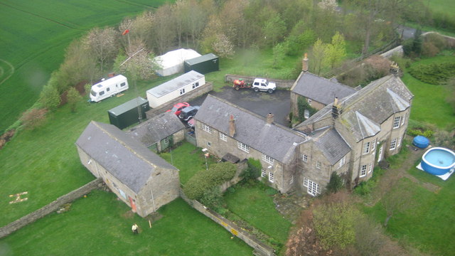
| Chollerton Farm Cottages, Stable and Carriage House | 1044902 | II | Chollerton | |
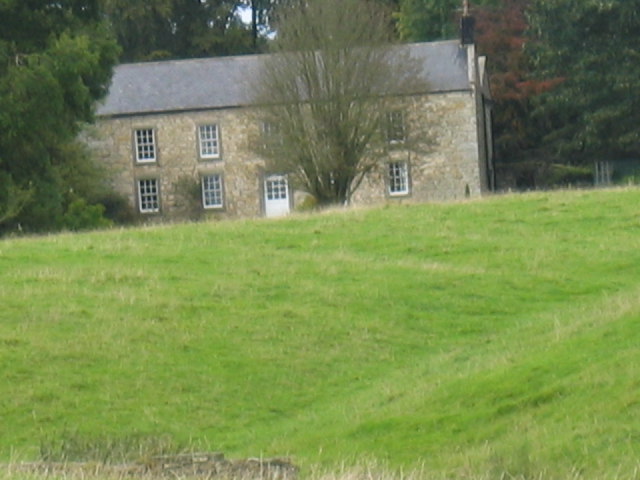
| Chollerton Farmhouse | 1370490 | II | Chollerton | |
| Chollerton Grange | 1044904 | II | Chollerton | |
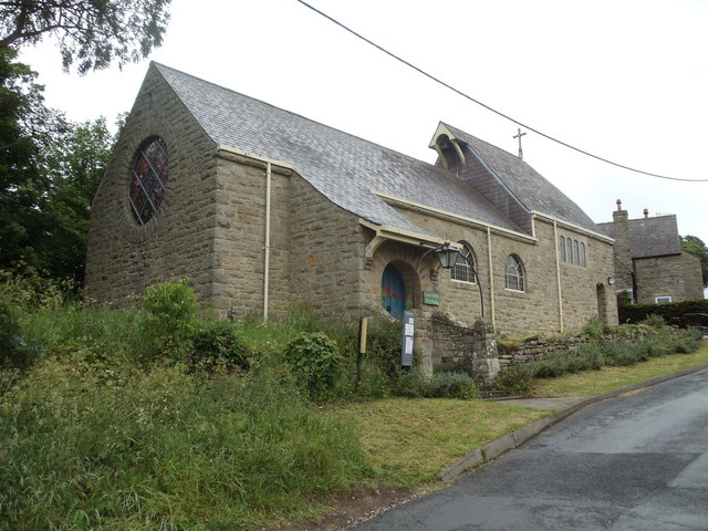
| Church of St Christopher | 1155349 | II | 1899 | Gunnerton |
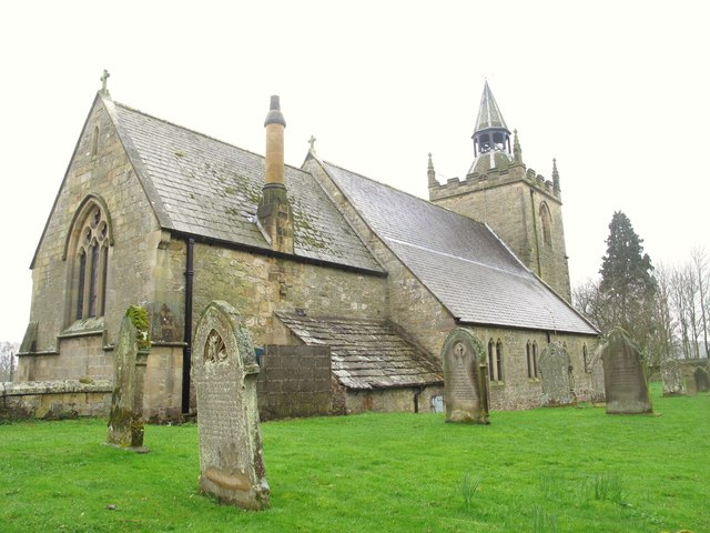
| Church of St Giles | 1155271 | I | C12th | Chollerton |
| Elwood House | 1303495 | II | C18th | Barrasford |
| Farmbuilding C50 Yards East of Chollerton Farmhouse | 1044901 | II* | Chollerton | |
| Fell House Cottages | 1155134 | II | ||
| Fell House Farmbuildings with Gingang | 1044938 | II | ||
| Fell House Farmhouse | 1044937 | II | ||
| Garden Wall, Sheds and Pigsty East and South of Farmhouse | 1303400 | II | ||
| Gate Piers and Entrance Walls C60 Yards North of Tone Hall | 1370496 | II | ||
| Gate Piers C100 Yards North of Chipchase Castle | 1370489 | II | Chipchase Castle | |
| Gateway, Lodges and Walls at Entrance to Swinburne Castle | 1044936 | II* | Great Swinburn | |
| Ha-Ha Wall C20 Yards South and West of Little Swinburne Farm | 1370495 | II | Great Swinburn | |
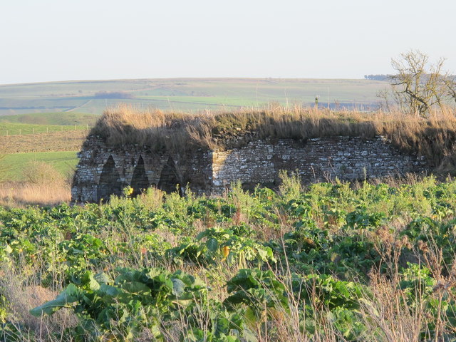
| Limekiln C100 Yards West of Colwell Village | 1370493 | II | C18th | Colwell |
| Little Swinburne Farmhouse | 1044907 | II | ||
| Little Swinburne Tower | 1044908 | II | ||
| Memorial to John Saint C30 Yards South of Church of St Giles | 1370492 | II | ||
| Orangery to East of Swinburne Castle | 1370494 | II | Great Swinburn | |
| Pair of Milestones C. 1/4 Mile West of A68 | 1370469 | II | ||
| Pig Sties and Cart Shed C 20 Yards North-East of Chollerton Farmhouse | 1044903 | II | Chollerton | |
| Railway Bridge 300 Yards South of Chollerton | 1155128 | II | Chollerton | |
| Stable and Hearse House C40 Yards South-West of Church of St Giles | 1303409 | II | C19th | Chollerton |
| Stable Block to East of Swinburne Castle | 1155340 | II* | Great Swinburn | |
| Steward's House | 1044900 | II | ||
| Swinburne Castle and Attached Stable | 1044905 | II* | C16th | Great Swinburn |
| The Manor House | 1155309 | II | ||
| The Old School | 1044939 | II | ||
| Tithe Barn | 1044906 | II | C18th | Great Swinburn |
| Tone Hall Farmhouse | 1303365 | II | C16th | Tone |
| Wall and Gate Piers C 100 Yards East of Chipchase Castle | 1044898 | II | Chipchase Castle | |
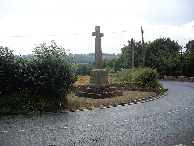
| War Memorial Opposite the Church of St Giles | 1391490 | II | 1921 | Chollerton |
| Bowl barrow, 400m ENE of Chollerton Farm | 1011419 | n/a | Scheduled Monument | |
| Dunn Crags farmstead and irregular enclosed field system, 950m north-west of Colwell | 1009693 | n/a | Scheduled Monument | |
| Romano-British farmstead, 850m west of Little Swinburne Reservoir | 1009694 | n/a | Scheduled Monument | |
| Romano-British farmstead, 540m north of Reaver Crag Farm | 1008431 | n/a | Scheduled Monument | |
| Romano-British farmstead, 120m south west of Cat's Elbow | 1008662 | n/a | Scheduled Monument | |
| Henge, 550m south east of Tone Hall | 1008664 | n/a | Scheduled Monument | |
| Romano-British farmstead, 650m west of High Cowden Cottage | 1008665 | n/a | Scheduled Monument | |
| Gunnerton Crag camps | 1002908 | n/a | Scheduled Monument | |
| Round barrow N of Reaverhill | 1006509 | n/a | Scheduled Monument | |
| Blue Crags hillfort, 730m north-west of Colwell | 1011403 | n/a | Scheduled Monument | |
| Round cairn, 450m SSE of Swinburne Castle | 1011405 | n/a | Scheduled Monument | |
| Round cairn, 650m south of Swinburne Castle | 1011406 | n/a | Scheduled Monument | |
| Standing stone, 770m south-east of Swinburne Castle | 1011407 | n/a | Scheduled Monument | |
| Univallate hillfort in Oxhill Plantation, 450m north-east of Great Swinburne | 1011408 | n/a | Scheduled Monument | |
| Romano-British farmstead, 600m west of Little Swinburne Reservoir | 1011409 | n/a | Scheduled Monument | |
| Stone hut circle, 950m north-west of Colwell | 1011410 | n/a | Scheduled Monument | |
| Chipchase Tower | 1011411 | n/a | Scheduled Monument | |
| Shrunken medieval village, tower and fishpond at Little Swinburne | 1011412 | n/a | Scheduled Monument | |
| Round cairn, 460m east of Edge House | 1011420 | n/a | Scheduled Monument | |
| Romano-British farmstead, 550m north-west of Barrasford Park | 1011422 | n/a | Scheduled Monument | |
| Romano-British farmstead, 750m east of Camphill Farm | 1011423 | n/a | Scheduled Monument | |
| Romano-British farmstead, 70m south-west of Pity Me | 1011424 | n/a | Scheduled Monument | |
| Stone hut circles and linear boundary, 750m south-east of Low Cowden | 1011425 | n/a | Scheduled Monument |
Primary source: the National Heritage List for England - NHLE is the register of nationally protected historic buildings and sites in England, including listed buildings, scheduled monuments, protected wrecks, registered parks and gardens, and battlefields. The list is maintained by Historic England. Check NHLE for updates and new entries.
Secondary sources: British Listed Buildings and Keys to the Past.
Co-Curate Page
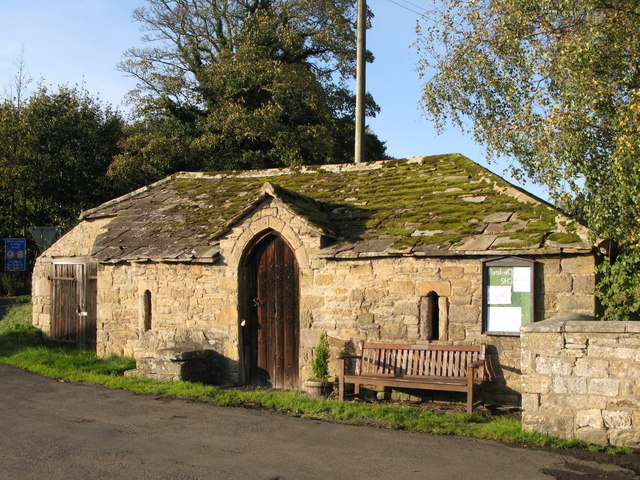
Chipchase Castle
- Overview About Chipchase Castle Map Street View Chipchase Castle is a 17th century Jacobean mansion located near the River North Tyne, about a mile and a half south-east of Wark-on-Tyne. …
Co-Curate Page
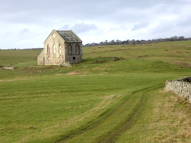
Hearse House, St Giles, Chollerton
- This is an early 19th century stable, later used as a garage for a Hearse, to the west of St Gile's Church in Chollerton. The building is Grade II listed.
Co-Curate Page
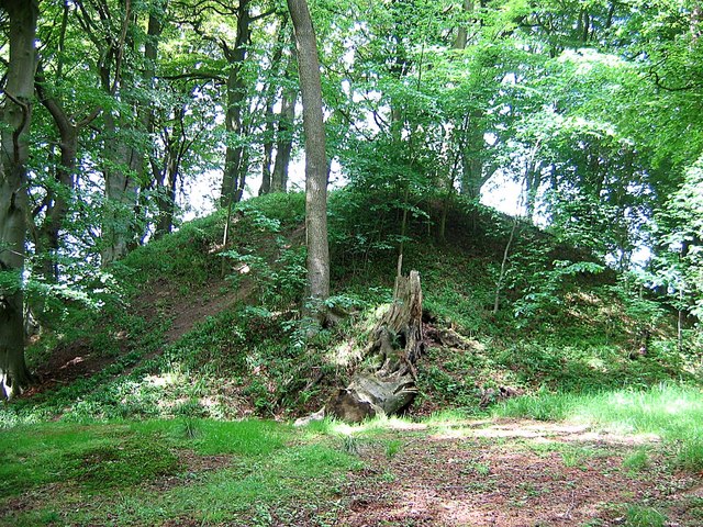
Tithe Barn
- Tithe barns were common across much of northern Europe in the Middle Ages. Farmers were required to give one-tenth of their produce to the Church, and these 'tythes' were stored …
Co-Curate Page
Motte and Bailey Castle, Gunnerton
- About half a mile north of Gunnerton are the remains of a Norman motte and bailey castle. The castle is built at the end of a promontory, formed by the …


Co-Curate Page
Chipchase Castle
- Overview About Chipchase Castle Map Street View Chipchase Castle is a 17th century Jacobean mansion located near the River North Tyne, about a mile and a half south-east of Wark-on-Tyne. …

Co-Curate Page
Hearse House, St Giles, Chollerton
- This is an early 19th century stable, later used as a garage for a Hearse, to the west of St Gile's Church in Chollerton. The building is Grade II listed.

Co-Curate Page
Tithe Barn
- Tithe barns were common across much of northern Europe in the Middle Ages. Farmers were required to give one-tenth of their produce to the Church, and these 'tythes' were stored …

