Topics > Northumberland > Civil Parishes in Northumberland > Brinkburn Civil Parish > Historic Buildings and Monuments in Brinkburn & Hesleyhurst
Historic Buildings and Monuments in Brinkburn & Hesleyhurst
Listed buildings and scheduled monuments in Brinkburn & Hesleyhurst Civil Parish, Northumberland, from the National Heritage List for England[1]. Use the Search (below) if looking for a specific building / monument.
| Structure | List No. | Grade | Built~ | Note |
|---|---|---|---|---|
| Brinkburn Lodge | 1303955 | II | ||
| Brinkburn Mill | 1041905 | II | C18th | Incorpotating medieval masonary |
| Brinkheugh Farmhouse and Outbuilding to East | 1041906 | II* | C17th | Brinkheugh Incorporates bastle |
| Butterknowes Farmhouse | 1371141 | II | ||
| Cartshed and Outbuilding to North East of Brinkburn Mill | 1154328 | II | ||
| Cockshot Farmhouse | 1041907 | II | C17th | |
| Farmbuilding Range Attached to East of Butterknowes Farmhouse | 1154365 | II | ||
| Farmbuilding Range on West of Yard at Brinkburn Lodge | 1041900 | II | ||
| Garden Walls and Gatepiers and Attached Privy to South of Brinkheugh Farmhouse | 1303873 | II | ||
| Healey Cote Farmhouse with Adjacent Outbuilding to East | 1371159 | II | c.1700 | Healey Cote |
| High Linn | 1154058 | II | ||
| Jacksons Stile 150 Metres North of Cockshot Farm | 1041908 | II | ||
| Main Farmbuilding Group to West of Healey Cote Farmhouse | 1041867 | II | c.1700 | Healey Cote |
| Mounting Block at North West Corner of Priory Church | 1041902 | II | ||
| New Houses Farmhouse with Attached Outbuildings | 1304002 | II | ||
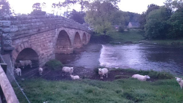
| Pauperhaugh Bridge over the River Coquet | 1041901 | II | 1862 | Pauperhaugh |
| Pauperhaugh Post Office with Adjacent Old Smithy | 1154093 | II | Pauperhaugh | |
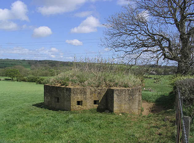
| Pill Box at NZ 089 997 | 1052197 | II | ||
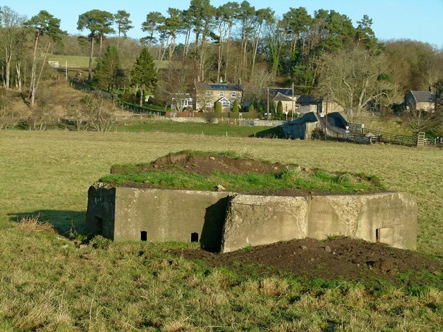
| Pill Box at NZ 099 994 | 1238464 | II | 1940 | Pauperhaugh. Part of the Cocquet Stop Line defences. |
| Pill Box at NZ 114 985 | 1372338 | II | ||
| Pill Box at NZ 126 982 | 1238457 | II | 1940 | Brinkheugh. Part of the Cocquet Stop Line defences. |
| Riverside Wall North of Manor House with Attached Gatepiers | 1041903 | II | ||
| Ruined Outbuilding and Attached Wall to East of Brinkburn Mill | 1371140 | II | ||
| South Part of West Farmbuilding Range at Healey | 1041899 | II | ||
| Stable Block to North West of Priory | 1303911 | II | ||
| Stable/Granary with Attached Privy to West of Cockshot Farmhouse | 1154385 | II | ||
| Stone on Brinkburn/Longframlington Parish Boundary 650 Metres North East of Todstead | 1041898 | II | ||
| Sundial situated in the walled garden of Brinkburn Bothy | 1303965 | II | ||
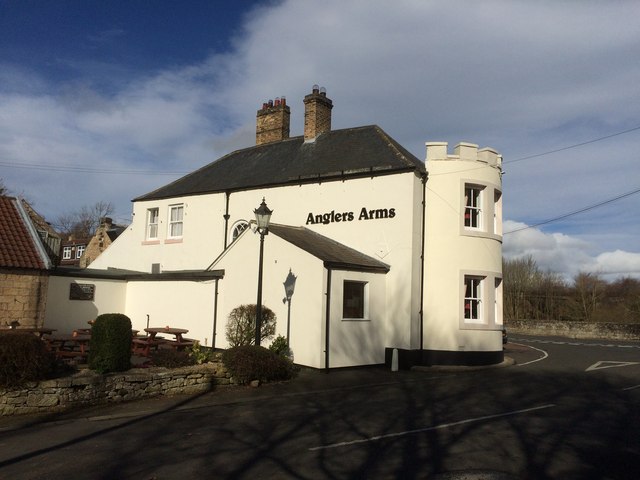
| The Anglers Arms | 1041868 | II | C18th | Weldon Bridge. Former coaching inn. |
| The Farmhouse in Range of Buildings North of the Anglers Arms | 1041869 | II | ||
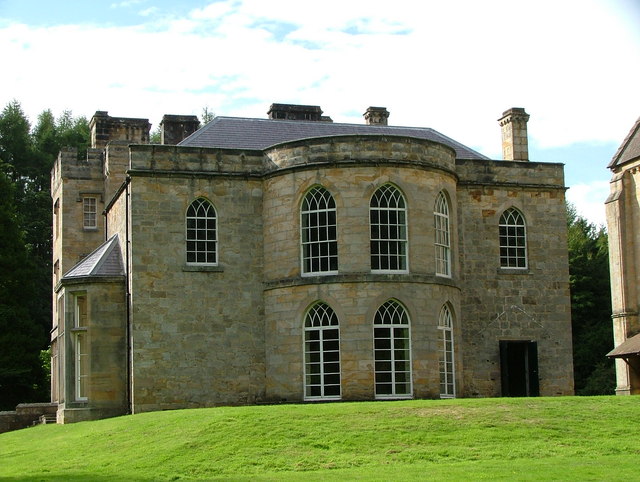
| The Manor House | 1303922 | II* | C13th | Priory buildings coverted to country house in C16th. |
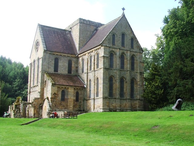
| The Priory Church (Brinkburn Priory) | 1303969 | I | C12th | Augustinian priory |
| Thistleyhaugh Farmhouse | 1371160 | II | ||
| Tunnel 50 Metres East of Priory Church | 1041904 | II | ||
| Wall on North Side of Former Mill Race to South East of Manor House | 1154287 | II | ||
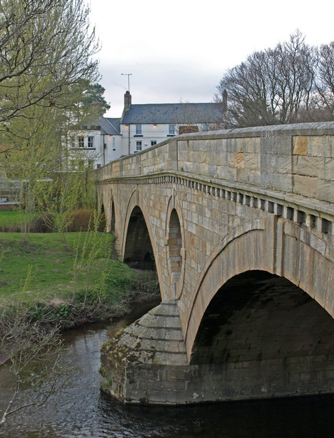
| Weldon Bridge over River Coquet and Wall to North West | 1371161 | I | c.1760 | By John Smeaton |
| White House | 1371139 | II | ||
| Brockley Hall Farmhouse | 1303457 | II | ||
| Farmbuildings Attached to East of Brockley Hall Farmhouse | 1041246 | II | ||
| Farmbuildings West of Pike House | 1371443 | II | ||
| Milestone Circa 1 Mile South of Rothbury | 1155233 | II | ||
| Milestone Circa a Quarter of a Mile East of Lordenshaw | 1371442 | II | ||
| Pike House | 1155249 | II | ||
| The Lonnen | 1041245 | II | ||
| Round cairn on Garleigh Hill, 790m north east of Lordenshaw | 1017198 | n/a | Scheduled Monument | |
| Lordenshaw multivallate hillfort, Romano-British settlements, field system, cairnfield, cross dyke, round cairn cemetery, rock art and medieval park pale | 1017196 | n/a | Scheduled Monument | |
| Brinkburn Priory Augustinian priory, mill, gateway and post-Dissolution house | 1007508 | n/a | Scheduled Monument | |
| Defended settlement, 360m north east of Pike House | 1006477 | n/a | Scheduled Monument | |
| Cragside Grounds | 1001046 | I | C19th | Listed Park and Garden. Parts in Rothbury, Brinkburn & Cartington CPs. |
Primary source: the National Heritage List for England - NHLE is the register of nationally protected historic buildings and sites in England, including listed buildings, scheduled monuments, protected wrecks, registered parks and gardens, and battlefields. The list is maintained by Historic England. Check NHLE for updates and new entries. Secondary sources: British Listed Buildings and Keys to the Past.
Co-Curate Page
Brinkburn Priory
- Overview About Map Inside Brinkburn Priory was a medieval monastery built on a tight bend of the River Coquet, located 1.8 miles south west of Longframlington, in Northumberland. It was …
Co-Curate Page
Weldon Bridge - Bridge
- Overview Map Street View The stone bridge over the River Coquet at Weldon Bridge was built c.1760[1] The bridge has 3 arches and distinctive circular openings between the arches. It …
Co-Curate Page
The Anglers Arms, Weldon Bridge
- Overview Map Street View The Angler's Arms in Weldon Bridge was built in the mid 18th century as a coaching inn, located on what was then, one of the main …
Co-Curate Page
Pauperhaugh Bridge
- Overview Map Street View Pauperhaugh bridge over the River Coquet.
Co-Curate Page
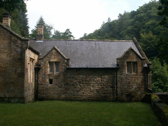
Brinkburn Mill
- Mill and attached miller's cottage. Mill probably C18 with re-used medieval masonry, remodelled and cottage added c.1830. The former mill and cottage are Grade II listed on the National Heritage …
Co-Curate Page
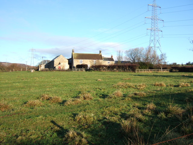
Cockshot, Northumberland
- Farmhouse probably late C17, raised and remodelled mid-C18; east extension early C19. Grade II listed on the National Heritage List for England.


Co-Curate Page
Brinkburn Priory
- Overview About Map Inside Brinkburn Priory was a medieval monastery built on a tight bend of the River Coquet, located 1.8 miles south west of Longframlington, in Northumberland. It was …

Co-Curate Page
Weldon Bridge - Bridge
- Overview Map Street View The stone bridge over the River Coquet at Weldon Bridge was built c.1760[1] The bridge has 3 arches and distinctive circular openings between the arches. It …

Co-Curate Page
The Anglers Arms, Weldon Bridge
- Overview Map Street View The Angler's Arms in Weldon Bridge was built in the mid 18th century as a coaching inn, located on what was then, one of the main …

Co-Curate Page
Pauperhaugh Bridge
- Overview Map Street View Pauperhaugh bridge over the River Coquet.

Co-Curate Page
Brinkburn Mill
- Mill and attached miller's cottage. Mill probably C18 with re-used medieval masonry, remodelled and cottage added c.1830. The former mill and cottage are Grade II listed on the National Heritage …

