Topics > Geography > Rivers > River North Tyne > Lewis Burn
Lewis Burn
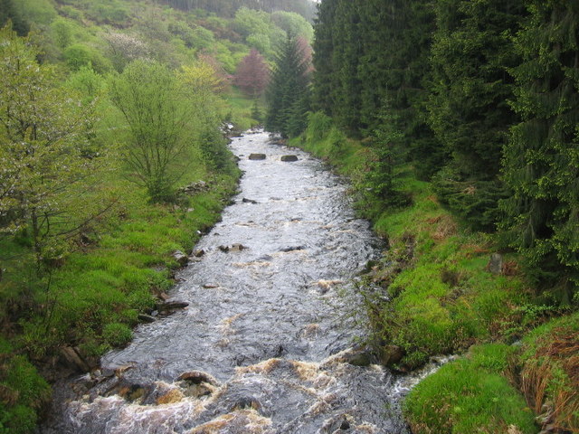
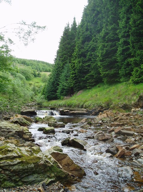
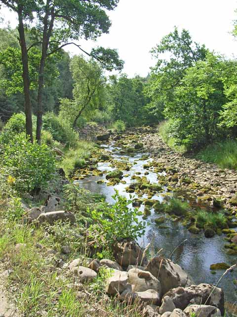
Lewis Burn (sometimes called Lewisburn) is a small river in Northumberland which flows into Kielder Water, which discharges into the River North Tyne. Lewis Burn is about 15 km long and has a catchment area of 55 km2.[1] Akenshaw Burn is a major tributary of Lewis Burn, it's confluence with Lewis Burn, which is known as "The Forks".
Co-Curate Page
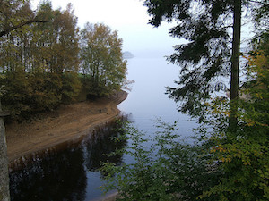
Kielder Water & Forest Park
- Overview About Kielder Water About Kielder Forest Map Street View Kielder Water is a resevoir in Northumberland, which is the largest artificial lake in the UK by water capacity. It …

from http://environment.data.gov.u…
Overall classification for 2016 Moderate Lewis Burn from Source to N Tyne (Kielder)
Added by
Simon Cotterill
Co-Curate Page
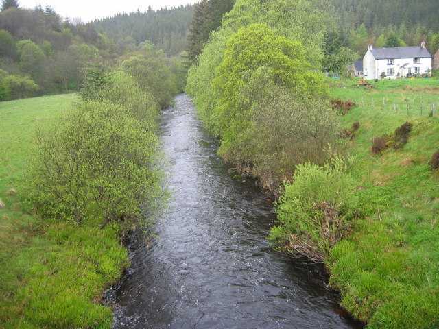
The Forks, Kielder Forest
- Overview Map The place where Akenshaw Burn joins Lewis Burn in Kielder Forest, is known as "The Forks". There are a couple of cottages here. The stone bridge over Lewis …
Co-Curate Page
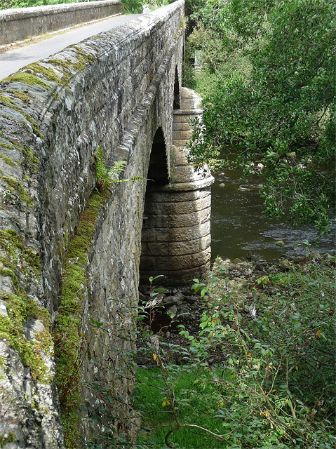
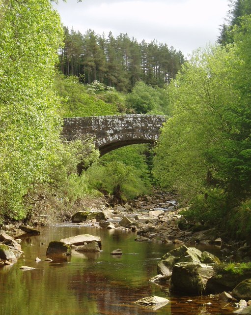
Bridge over Lewis Burn, The Forks
- Overview Map The bridge carrying Bloody Bush Road over Lewis Burn, is located near The Forks in Kielder Forest. It was built in 1829 for Sir J. Swinburn. The single …


Co-Curate Page
Kielder Water & Forest Park
- Overview About Kielder Water About Kielder Forest Map Street View Kielder Water is a resevoir in Northumberland, which is the largest artificial lake in the UK by water capacity. It …

from http://environment.data.gov.u…
Overall classification for 2016 Moderate Lewis Burn from Source to N Tyne (Kielder)
Added by
Simon Cotterill

Co-Curate Page
The Forks, Kielder Forest
- Overview Map The place where Akenshaw Burn joins Lewis Burn in Kielder Forest, is known as "The Forks". There are a couple of cottages here. The stone bridge over Lewis …

