Topics > Civil Parishes in Cumbria > Kirkandrews on Esk Civil Parish > Kirkandrews-upon-Esk Parish, 1848
Kirkandrews-upon-Esk Parish, 1848
KIRK-ANDREWS-upon-Esk (St. Andrew), a parish, in the union of Longtown, Eskdale ward, E. division of Cumberland; comprising the townships of Middle Kirk-Andrews, Nether Kirk-Andrews, Moat, and Nichol-Forest; and containing 1,932 inhabitants, of whom 458 are in Middle Kirk-Andrews, 3 miles (N. by E.) from Longtown. This parish, which is separated from Scotland by the rivers Liddel, Kershope, and Sark, and by the Scots' dyke, forms a large portion of the English border, and was the scene of almost constant warfare before the union of the two crowns. On the steep bank of the Liddel is a moated area called Liddel's Strength, supposed to have been the site of the baronial castle of the ancient lords of Liddel, which was taken by William, King of Scotland, in 1174, and by David Bruce in 1346. In the reign of Henry VIII. a memorable battle, in which the Scots were defeated with great slaughter, took place on Solway Moss, in the parish; and in 1745 a strong party of the rebels were slain by the army under the Duke of Cumberland, near Esk Bridge. The parish comprises by measurement 11,636 acres, of which 9,433 are arable, meadow, and old pasture, 503 woodland, and about 1,700 in Solway Moss; the surface is varied, and the lower grounds are watered by the Esk, which separates the parish from Longtown. Over the Esk are two bridges, one of which, at Garristown, is of cast iron; and there are two bridges of stone across the river Sark. Freestone of good quality for building is found in abundance, and about a mile from the church is an extensive quarry. The living is a discharged rectory, valued in the king's books at £3. 11. 5.; net income, £512; patron, Sir James R. G. Graham, Bart. The church, a picturesque object standing alone on the west bank of the Esk, was erected by Sir Richard Graham, upon the site of a more ancient structure, in 1637, at which period Kirk-Andrews was made a distinct parish, having previously been only a chapelry in that of Arthuret, or Easton. At Nichol-Forest is a separate incumbency. In the parish are four schools endowed by Lady Widdrington, in 1754, with £5. 13. 4. each. Near the church is one of the old tower fortresses erected for the defence of the border. An extraordinary irruption of Solway Moss took place in 1771, when a large tract of land was inundated, which was afterwards recovered and brought again into cultivation.
Extract from: A Topographical Dictionary of England comprising the several counties, cities, boroughs, corporate and market towns, parishes, and townships..... 7th Edition, by Samuel Lewis, London, 1848.

Co-Curate Page
Nether Kirkandrews Township, 1848
- KIRK-ANDREWS, NETHER, a township, in the parish of Kirk-Andrews-upon-Esk, union of Longtown, Eskdale ward, E. division of Cumberland; containing 444 inhabitants. It lies between the rivers Sark and Esk, and …
Co-Curate Page
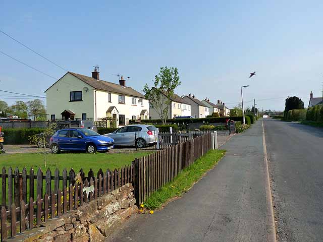
Moat (village), Kirkandrews on Esk
- Overview Map Street View Moat (sometimes called "Kirkandrews Moat") is a village in the City of Carlisle district of Cumbria, located close to the border with Scotland and about 4 miles …

Co-Curate Page
Nether Kirkandrews Township, 1848
- KIRK-ANDREWS, NETHER, a township, in the parish of Kirk-Andrews-upon-Esk, union of Longtown, Eskdale ward, E. division of Cumberland; containing 444 inhabitants. It lies between the rivers Sark and Esk, and …


