Topics > Northumberland > Civil Parishes in Northumberland > Kilham Civil Parish, Northumberland
Kilham Civil Parish, Northumberland
Area: 31.6 km²
Population:
<100
Co-Curate Page
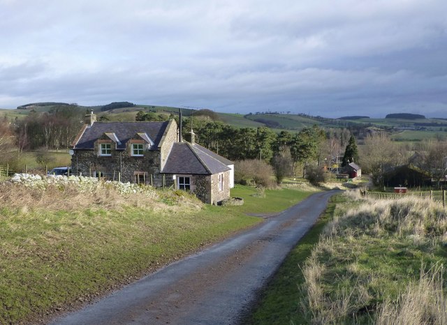
Howtel
- Overview Map Street View Howtel is a hamlet in Northumberland, located on the B6532 road, about 7 miles north-west of Wooler, near the border with Scotland. Howtel is the site …
Co-Curate Page
Pawston
- Overview Map Street View Pawston is a hamlet in Northumberland. Pawston incorporates the site of the deserted medieval village of Thornington, which was first recorded in 1296.[1] To the south-west …
Co-Curate Page
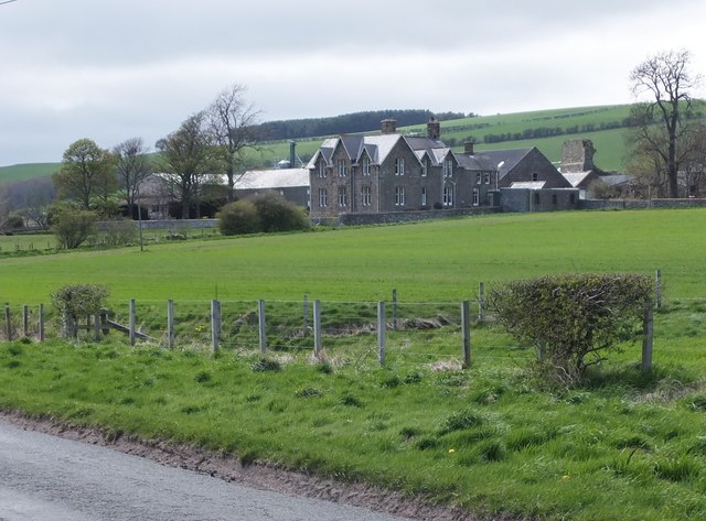
Kilham
- Overview Map Street View Kilham is a village and civil parish in Northumberland. The village is located by Kilham Burn, close to it's confluence with Bowmont Water.

Co-Curate Page
Howtel
- Overview Map Street View Howtel is a hamlet in Northumberland, located on the B6532 road, about 7 miles north-west of Wooler, near the border with Scotland. Howtel is the site …
Co-Curate Page
Pawston
- Overview Map Street View Pawston is a hamlet in Northumberland. Pawston incorporates the site of the deserted medieval village of Thornington, which was first recorded in 1296.[1] To the south-west …


")