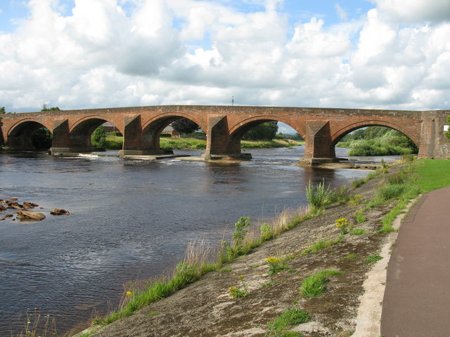
Topics > Cumbria > Rivers in Cumbria > River Esk ('the Border Esk') > Liddel Water > Kershope Burn
Kershope Burn
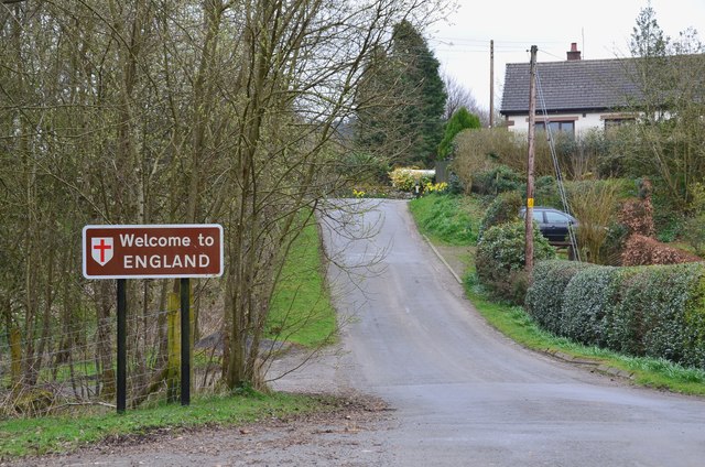
Kershope Burn is a tributary of Liddel Water. The burn forms part of the border between England and Scotland and England. The burn rises in the marshy Hobb’s Flow near Kielder Forest, it flows through a steep, forested valley, separating Newcastleton Forest from Kershope Forest, before joining Liddel Water at Kershopefoot.
Co-Curate Page
Kershopefoot
- Overview Map Street View Kershopefoot is a hamlet in Cumbria, located close to the Scotland-England border, about 7 miles north-west of Bewcastle. It is situated by the confluence of Kershope …

Co-Curate Page
Kershopefoot
- Overview Map Street View Kershopefoot is a hamlet in Cumbria, located close to the Scotland-England border, about 7 miles north-west of Bewcastle. It is situated by the confluence of Kershope …