Topics > Civil Parishes in Cumbria > Blindcrake Civil Parish > Isel Parish, 1848
Isel Parish, 1848
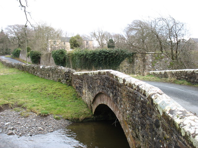
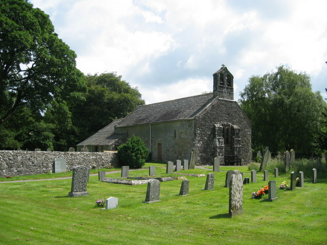
ISELL (St. Michael), a parish, in the union of Cockermouth, Allerdale ward below Derwent, W. division of Cumberland; containing with the townships of Isell-Old-Park and Sunderland, 535 inhabitants, of whom 347 are in the township of Isell with Blindcrake and Redmain, 3¾ miles (N.E. by E.) from Cockermouth. The parish is bounded on the south by the Derwent, which is crossed by a bridge, built in 1691. Isell Hall is of great antiquity, and has been fortified; one of the original towers is still standing, but the rest of the building has been much modernised. White freestone is obtained on Moothay Hill; and coal and copper mines were formerly wrought within the parish. The living is a vicarage endowed with the rectorial tithes, and valued in the king's books at £8. 13. 6½.; net income, £157; patron, Sir Wilfred Lawson, Bart.: the tithes were commuted for land in 1808. The church is in the Norman style.
Extract from: A Topographical Dictionary of England comprising the several counties, cities, boroughs, corporate and market towns, parishes, and townships..... 7th Edition, by Samuel Lewis, London, 1848.
Co-Curate Page
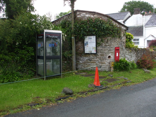
Isel
- Overview About Isel Map Street View Isel is a sparsely populated and dispersed settlement in Cumbria, located by the River Derwent and about 4 miles north-east of Cockermouth. Isel (sometimes …
Co-Curate Page
Church of St Michael, Isel
- Overview About St Michael's Church Map Street View St Michael's Church in Isel, Cumbria, was built in the early 12th century, and was restored in 1878 by C. J. Ferguson. …
Co-Curate Page
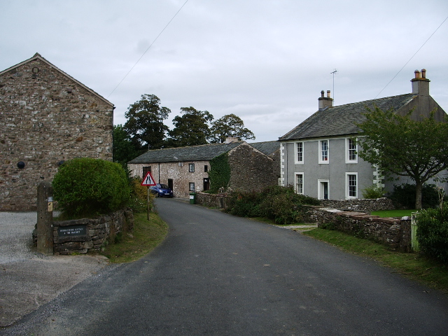
Redmain
- Overview About Redmain Map Street View Redmain is a hamlet in Cumbria, located about two and a half miles north-east of Cockermouth, and just under two miles south-east of the …
Co-Curate Page
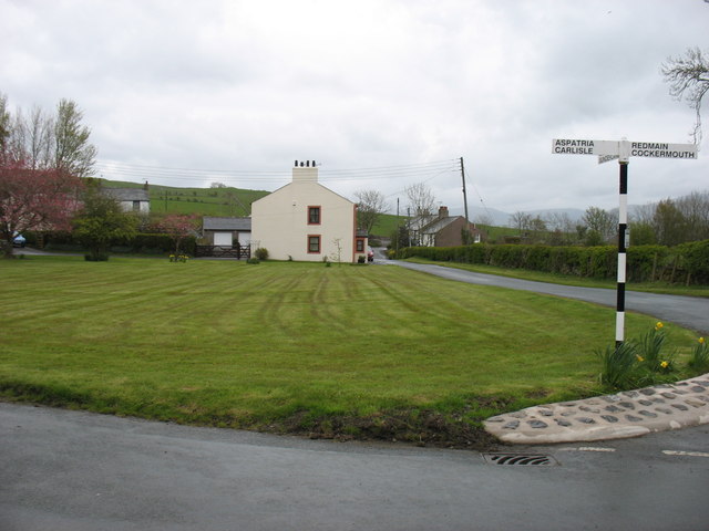
Blindcrake
- Overview About Blindcrake Map Street View Blindcrake is a village and civil parish within the Isel Valley, in the Lake District National Park and in the Allerdale district of …
Co-Curate Page
Sunderland
- Overview About Sunderland Map Street View Sunderland is a hamlet in the Allerdale district of Cumbria, located about 4½ miles north-east of Cockermouth. In the past Sunderland was a township …

Co-Curate Page
Sir Wilfrid Lawson (1829 - 1906)
- Overview About Wilfrid Lawson Map Street View Sir Wilfrid Lawson, 2nd Baronet (4 September 1829 - 1 July 1906) Sir Wilfrid Lawson, 2nd Baronet (4 September 1829 – 1 July …

Co-Curate Page
Isel
- Overview About Isel Map Street View Isel is a sparsely populated and dispersed settlement in Cumbria, located by the River Derwent and about 4 miles north-east of Cockermouth. Isel (sometimes …
Co-Curate Page
Church of St Michael, Isel
- Overview About St Michael's Church Map Street View St Michael's Church in Isel, Cumbria, was built in the early 12th century, and was restored in 1878 by C. J. Ferguson. …
Co-Curate Page
Redmain
- Overview About Redmain Map Street View Redmain is a hamlet in Cumbria, located about two and a half miles north-east of Cockermouth, and just under two miles south-east of the …
Co-Curate Page
Blindcrake
- Overview About Blindcrake Map Street View Blindcrake is a village and civil parish within the Isel Valley, in the Lake District National Park and in the Allerdale district of …
Co-Curate Page
Sunderland
- Overview About Sunderland Map Street View Sunderland is a hamlet in the Allerdale district of Cumbria, located about 4½ miles north-east of Cockermouth. In the past Sunderland was a township …


