Topics > Civil Parishes in Cumbria > Hugill Civil Parish
Hugill Civil Parish
Area: 11.7 km²
Population:
457 (2021 Census)
446 (2011 Census)
416 (2001 Census)
In 2004, Staveley with Ings Parish Council was formed, covering the three Civil Parishes of Nether Staveley, Over Staveley and Hugill.
Co-Curate Page
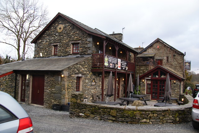
Ings
- Overview Map Street View Ings is a village in the South Lakeland district of Cumbria, located on the A591 road, about 2 miles west of Windermere and 5 miles north-west …

from http://www.staveleywithingspc…
Staveley with Ings Parish Council
- "Staveley and Ings have a long history and many fine traditions. Nestled at the foot of the beautiful Kentmere valley and bisected by the rivers Gowan and Kent, the two …
Added by
Simon Cotterill

Co-Curate Page
Nether Staveley Civil Parish
- Area: 9.1 km² Population: 819 (2021 Census) 710 (2011 Census) 677 (2001 Census)
Co-Curate Page
Over Staveley Civil Parish
- Area: 1.0 km² Population: 420 (2021 Census) 437 (2011 Census) 444 (2001 Census)

Co-Curate Page
Ings
- Overview Map Street View Ings is a village in the South Lakeland district of Cumbria, located on the A591 road, about 2 miles west of Windermere and 5 miles north-west …
from http://www.staveleywithingspc…
Staveley with Ings Parish Council
- "Staveley and Ings have a long history and many fine traditions. Nestled at the foot of the beautiful Kentmere valley and bisected by the rivers Gowan and Kent, the two …
Added by
Simon Cotterill
Co-Curate Page
Nether Staveley Civil Parish
- Area: 9.1 km² Population: 819 (2021 Census) 710 (2011 Census) 677 (2001 Census)


