Topics > County Durham > Civil Parishes in County Durham > Hope Civil Parish, County Durham
Hope Civil Parish, County Durham
About the Parish
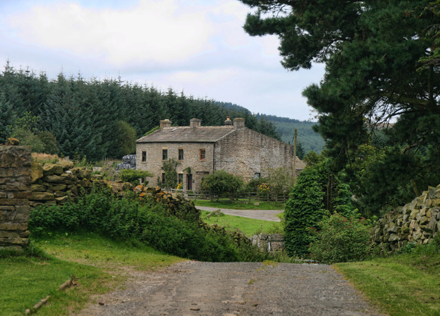
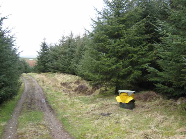
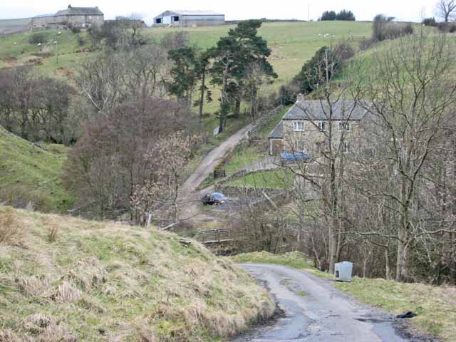
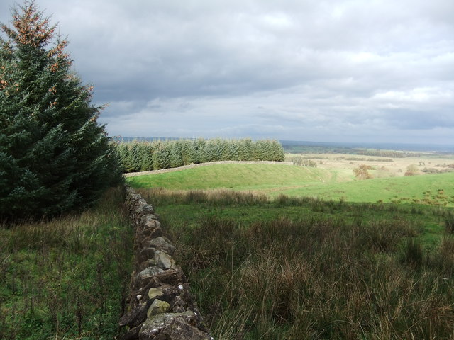
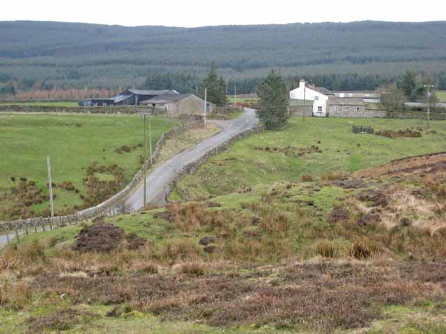
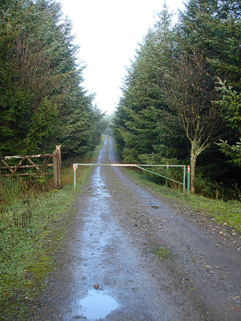
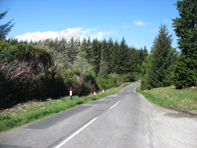
Hope is a remote and sparsely populated civil parish in County Durham, located about 5 miles south of Barnard Castle. The parish includes high moor land and The Stang forest.
| Main Settlements: | The hamlet of: East Hope and farmsteads of West Hope, Stang Foot, and Peak Hole |
| Population: | <100 (2021 Census) |
| Area: | 10.5 km² |
| Parish Council? | Annual Parish Meeting? |
| Unitary Authority: | Durham County Council |
Historical |
|
| Ancient Township: |
Townships became civil parishes in their own right in 1866 (see below). |
| Ancient Parish: |
Barningham Parish (St Michael) Ancient parishes refer to the parishes before the split between ecclesiastical (church) and civil parishes in the 19th century. They had a parish church and often were composed of multiple townships and chapelries. In many cases, townships and parishes were originally based on the territory of manors from the feudal system during medieval times. Civil parishes were created following the Poor Law Amendment Act 1866, in which Church of England parishes, extra-parochial areas, townships and chapelries, became "civil parishes" which could set their own poor rate (tax). Then the reforms of Local Government Act 1894 established elected civil parish councils (or parish meetings for parishes with less than 300 residents) and created urban and rural districts. Boundaries of parishes and civil parishes may have changed over time. |
| Poor Law Union: |
Teesdale Poor Law Union, formed in 1837. Teesdale Union Workhouse was located at Barnard Castle. Under the Poor Law Amendment Act of 1834 parishes were grouped into Unions, each of which had to build a workhouse if they did not already have one. It ended the old system of locally provided poor relief which had come under strain as numbers out of work grew, following increasing mechanisation of agriculture and the economic downturn after the Napoleonic Wars, along with changing social attitudes. The workhouse provided those unable to support themselves financially with accommodation and work. Inmates were generally segregated into men, women, boys and girls. The workhouse system was abolished by the Local Government Act 1929, but many workhouses lived on as 'Public Assistance Institutions' until the National Assistance Act 1948. |
| County: |
North Riding of Yorkshire Transferred to County Durham on the 1st of April 1974, following the Local Government Act 1972. |
|
District Council: |
Startforth Rural District (part of the North Riding of Yorkshire), formed in 1894. The district was abolished and transferred to County Durham in 1974, following the Local Government Act 1972. Teesdale District (County Durham) from 1974 to 2009. The district council was abolished when County Durham became a unitary authority on the 1st of April 2009. |
![]() Listed buildings and scheduled monuments in Hope Civil Parish, County Durham, from the National Heritage List for England.
Listed buildings and scheduled monuments in Hope Civil Parish, County Durham, from the National Heritage List for England.
| Structure | List No. | Grade | Built~ | Notes |
|---|---|---|---|---|
| Cairn on the summit of Arndale Hill, Hope Moor | 1017426 | n/a | Bronze Age | Scheduled Monument |
| Cairn near the summit of a low ridge, 850m south west of Cocker Stake Nook, Hope Moor | 1017427 | n/a | Bronze Age | Scheduled Monument |
| A carved rock between The Stang Forest boundary wall and Woodclose Gill, 750m south east of Far East Hope, Barningham Moor | 1017417 | n/a | Prehistoric | Scheduled Monument. Partly in this parish. |
Primary source: the National Heritage List for England - NHLE is the register of nationally protected historic buildings and sites in England, including listed buildings, scheduled monuments, protected wrecks, registered parks and gardens, and battlefields. The list is maintained by Historic England. Check NHLE for updates and new entries. Secondary sources: British Listed Buildings and Keys to the Past.
Co-Curate Page
Hope, County Durham
- Overview Map The hamlet of East Hope and West Hope Farm are located about 5 miles south of Barnard Castle in County Durham, near the edge of The Stang (forest). …

Co-Curate Page
Hope, County Durham
- Overview Map The hamlet of East Hope and West Hope Farm are located about 5 miles south of Barnard Castle in County Durham, near the edge of The Stang (forest). …


