Topics > Civil Parishes in Cumbria > Holme St. Cuthbert Civil Parish
Holme St. Cuthbert Civil Parish
Parish boundaries may have changed - for the latest map see the Parish Council or Cumberland Council.
About the Parish
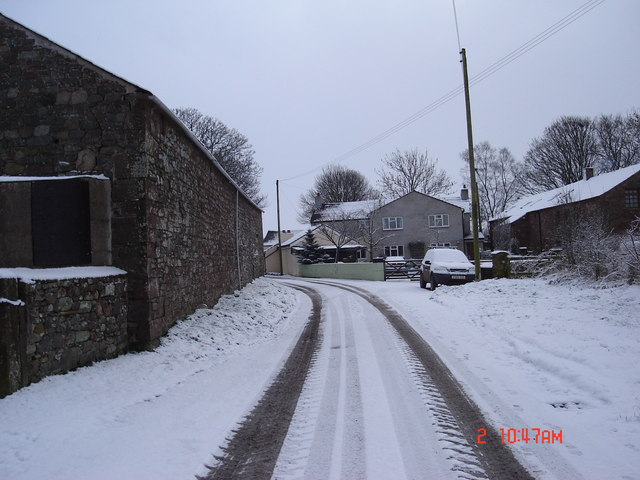
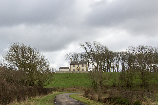
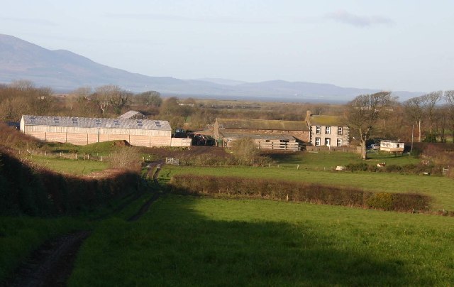
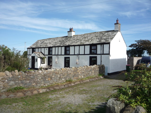
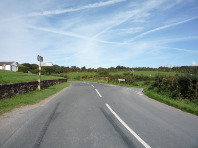
 Holme St. Cuthbert is a rural Civil Parish in Cumbria is situated by the Solway Firth coast. It is located about 18 miles south-west of Carlisle, 3 miles south of Siloth, and 6 miles north of Maryport. Agriculture and tourism are important in the parish, which also hosts the annual Solfest music and arts festival, at Tarnside Farm near Tarns. Historically, the area was part of the ancient parish of Holme Cultram. Holme St Cuthbert became an independent ecclesiastical parish in 1857, and a civil parish from 1866. In the more distant past, there were Roman defences built along the along the Cumbrian coast here, which ran south from Hadrian's Wall.
| Settlements: |
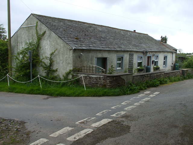
Mawbray (village) and hamlets/farms including: |
| Population: |
413 (2021 Census) 465 (2011 Census) 421 (2001 Census) 551 (1951 Census) 669 (1901 Census) 748 (1881 Census) |
| Area: | 24.1 km2 |
| Parish Council: | Holme St Cuthbert Parish Council |
| Unitary Authority: | Cumberland Council |
| Ceremonial County: | Cumbria |
Historical |
|
| Ancient Parish: |
Holme Cultram (St Mary's) - until 1857, when Holme St. Cuthbert became an independent parish. Parish population in 1848: 3,037 Holme Cultram parish included:
Ancient parishes refer to the parishes before the split between ecclesiastical (church) and civil parishes in the 19th century. They had a parish church and often were composed of multiple townships and chapelries. In many cases, townships and parishes were originally based on the territory of manors from the feudal system during medieval times. Civil parishes were created following the Poor Law Amendment Act 1866, in which Church of England parishes, extra-parochial areas, townships and chapelries, became "civil parishes" which could set their own poor rate (tax). Then the reforms of Local Government Act 1894 established elected civil parish councils (or parish meetings for parishes with less than 300 residents) and created urban and rural districts. Boundaries of parishes and civil parishes may have changed over time. |
| Ancient Township: |
Holme St. Cuthbert Population in 1848: 766 In 1857 Holme St. Cuthbert became an independent parish. Parish Church: St Cuthbert's. |
| Ancient District: |
East (ward) |
| Poor Law Union: |
Wigton Poor Law Union, formed in 1836. Wigton Union Workhouse was located on Cross Street, Wigton, which was built in 1842 to house up to 250 inmates. Prior to that there had been smaller workhouses in Caldbeck, Oulton, Glasson, and Wigton. Under the Poor Law Amendment Act of 1834 parishes were grouped into Unions, each of which had to build a workhouse if they did not already have one. It ended the old system of locally provided poor relief which had come under strain as numbers out of work grew, following increasing mechanisation of agriculture and the economic downturn after the Napoleonic Wars, along with changing social attitudes. The workhouse provided those unable to support themselves financially with accommodation and work. Inmates were generally segregated into men, women, boys and girls. The workhouse system was abolished by the Local Government Act 1929, but many workhouses lived on as ‘Public Assistance Institutions’ until the National Assistance Act 1948. |
|
County: |
Cumberland, until 1974, then: Cumbria, which was created on the 1st of April 1974, following the Local Government Act 1972. The new county absorbed Cumberland and Westmorland, and added some parts of Lancashire and the West Riding of Yorkshire. Cumbria County Council was abolished in 2023 and replaced by 2 new Unitary authorities. Cumbria remains a ceremonial county; retaining ceremonial boundary and the roles and responsibilities of the Lord Lieutenant and High Sheriff of Cumbria - based on 'The Cumbria (Structural Changes) Order 2022'. |
|
District Council: |
Holme Cultram Urban District (1894 - 1934) Wigton Rural District (1934 - 1974) Allerdale Borough (1974 - 2023) Created by the Local Government Act 1972. Allerdale absorbed the former municipal borough of Workington; the urban districts of Maryport, Cockermouth and Keswick; and the rural districts of Cockermouth and Wigton. Allerdale and the 5 other district councils of Cumbria, along with the county council, were abolished as part of local government reorganisation in 2023; and replaced by two unitary authorities on 1st April 2023. |
|
Unitary Authority: |
Cumberland Council was created on the 1st April 2023. The 'new' Cumberland unitary authority area includes most of the historic county, with the exception of Penrith and it's surrounding area, which is part the 'new' Westmorland and Furness unitary authority. |
See also: ![]() Historic Buildings and Monuments in Holme St Cuthbert Civil Parish. Note: listed buildings are generally the responsibility of the county council / unitary authority, rather than the parish council.
Historic Buildings and Monuments in Holme St Cuthbert Civil Parish. Note: listed buildings are generally the responsibility of the county council / unitary authority, rather than the parish council.
Co-Curate Page
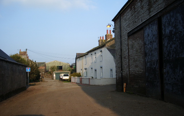
Beckfoot, Wigton
- Overview About Beckfoot Map Street View Beckfoot is a hamlet in the civil parish of Holme St Cuthbert in Cumbria, England. It is located on the B5300 coast road, …
Co-Curate Page
Pelutho
- Overview About Pelutho Map Street View Pelutho is a hamlet in the civil parish of Holme St. Cuthbert in Cumbria, historically in Cumberland, England. It is situated on the …
Co-Curate Page
Aikshaw
- Overview Map Street View Aikshaw is a hamlet in the Allerdale district of Cumbria, located about 8 miles west of Wigton and 3 miles north of Aspatria. The settlement includes …
Co-Curate Page
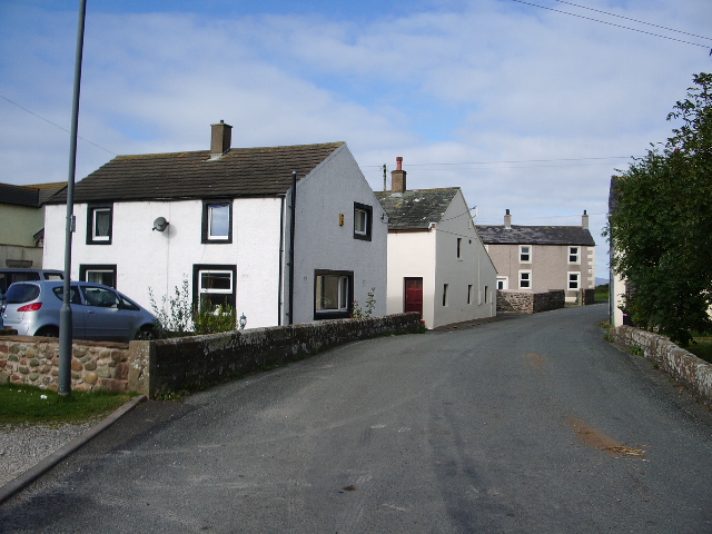
Mawbray
- Overview Map Street View Mawbray is a village on the Solway coast, in Cumbria, located about 7 miles north of Maryport and 4½ miles south-west of Silloth. The Lowether Arms …
Co-Curate Page
Edderside, Cumbria
- Overview Map Street View Edderside is a hamlet in Cumbria, situated on the Solway Plain, and located about 2 miles north-east of the coastal village of Allonby and 9½miles south-east …
Co-Curate Page
Jericho
- Overview Map Street View Jericho is located about 7½ miles north-east of Maryport in Cumberland. It consists of a single residence. Jericho is part of Holme St Cuthbert Civil Parish …

Co-Curate Page
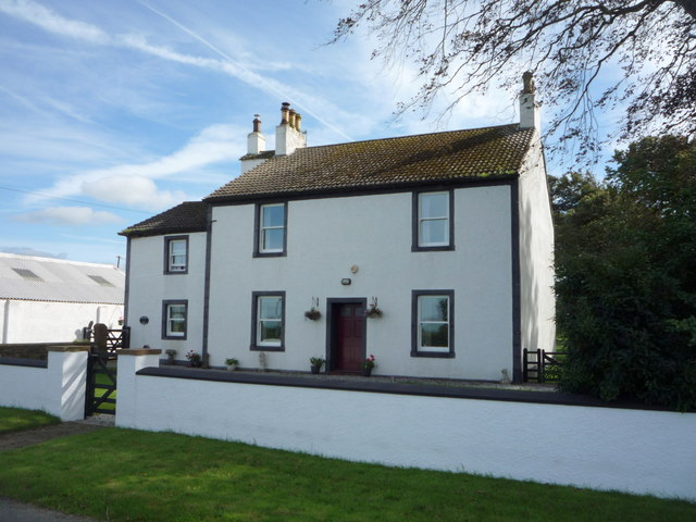
Holme St. Cuthbert
- Overview Map Street View Holme St. Cuthbert is a hamlet in Cumbria, located about 7½ miles north-east of Maryport and 1 mile ENE of the village of Mawbray. There are …

from https://www.cumbriacountyhist…
Holme St Cuthbert
- Township in Holme Cultram parish, Allerdale below Derwent ward, Cumberland.....6,301 acres [2,550 ha], including 141 acres [57 ha] in small detached portions. Commons enclosed under Holme Cultram enclosure award 1814. …
Added by
Simon Cotterill

Co-Curate Page
Salta
- Overview Map Street View Salta is a hamlet and farm close to the Solway Firth in Cumbria, loacted about 1 mile SSE of the village of Mawbray, and 6 miles …


from https://www.holmestcuthbertpa…
Holme St. Cuthbert Parish Council
- Website of Holme St. Cuthbert Parish Council. "The civil parish of Holme St. Cuthbert is a rural area and includes the village of Mawbray and the hamlets of Aikshaw, Beckfoot, …
Added by
Simon Cotterill


Co-Curate Page
Holme Cultram Parish, 1848
- HOLME-CULTRAM (Virgin Mary), a parish, in the union of Wigton, Allerdale ward below Derwent, W. division of Cumberland, 6½ miles (W. N. W.) from Wigton; containing 3,037 inhabitants, of whom …


Co-Curate Page
Beckfoot, Wigton
- Overview About Beckfoot Map Street View Beckfoot is a hamlet in the civil parish of Holme St Cuthbert in Cumbria, England. It is located on the B5300 coast road, …
Co-Curate Page
Pelutho
- Overview About Pelutho Map Street View Pelutho is a hamlet in the civil parish of Holme St. Cuthbert in Cumbria, historically in Cumberland, England. It is situated on the …
Co-Curate Page
Aikshaw
- Overview Map Street View Aikshaw is a hamlet in the Allerdale district of Cumbria, located about 8 miles west of Wigton and 3 miles north of Aspatria. The settlement includes …
Co-Curate Page
Mawbray
- Overview Map Street View Mawbray is a village on the Solway coast, in Cumbria, located about 7 miles north of Maryport and 4½ miles south-west of Silloth. The Lowether Arms …
Co-Curate Page
Edderside, Cumbria
- Overview Map Street View Edderside is a hamlet in Cumbria, situated on the Solway Plain, and located about 2 miles north-east of the coastal village of Allonby and 9½miles south-east …
Co-Curate Page
Jericho
- Overview Map Street View Jericho is located about 7½ miles north-east of Maryport in Cumberland. It consists of a single residence. Jericho is part of Holme St Cuthbert Civil Parish …
Co-Curate Page
Holme St. Cuthbert
- Overview Map Street View Holme St. Cuthbert is a hamlet in Cumbria, located about 7½ miles north-east of Maryport and 1 mile ENE of the village of Mawbray. There are …
from https://www.cumbriacountyhist…
Holme St Cuthbert
- Township in Holme Cultram parish, Allerdale below Derwent ward, Cumberland.....6,301 acres [2,550 ha], including 141 acres [57 ha] in small detached portions. Commons enclosed under Holme Cultram enclosure award 1814. …
Added by
Simon Cotterill
Co-Curate Page
Salta
- Overview Map Street View Salta is a hamlet and farm close to the Solway Firth in Cumbria, loacted about 1 mile SSE of the village of Mawbray, and 6 miles …
from https://www.holmestcuthbertpa…
Holme St. Cuthbert Parish Council
- Website of Holme St. Cuthbert Parish Council. "The civil parish of Holme St. Cuthbert is a rural area and includes the village of Mawbray and the hamlets of Aikshaw, Beckfoot, …
Added by
Simon Cotterill