Topics > Tyne and Wear > North Tyneside > Tynemouth > Historical Accounts of Tynemouth
Historical Accounts of Tynemouth
From JG Bartholomew's Gazetteer of the British Isles (1905):
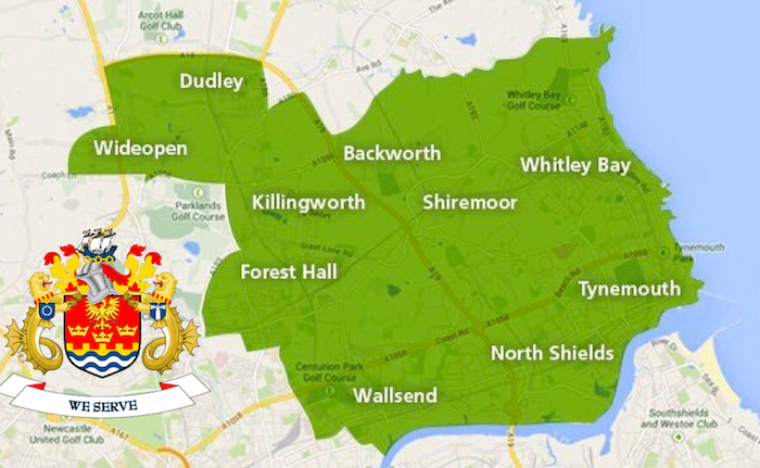
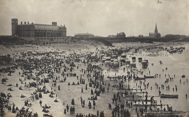
Tynemonth, parliamentary and municiple borough, parish, and watering-place, with railway station, North Eastern Railway, Northumberland, at North side of mouth of river Tyne, opposite South Shields, 8 miles NE of Newcastle parliamentary and municiple borough, 4372 acres, pop. 51,366; parish, 1212 acres, pop. 24,881. Tynemouth includes the port of North Shields, and the whole borough is usually called North Shields. Tynemouth proper, immediately East of North Shields, is a bathing-place, with a fine sandy beach, baths, aquarium, winter garden, two piers, one of which is a favourite promenade ; industries include shipbuilding, rope, and sail making; there are also important fisheries. The fish quays have recently been improved at a cost of over £80,000. There is also a Lloyd's signal station. In Saxon times Tynemouth was in great repute as the burial-place of St. Oswyn, its patron saint. A monastery was founded in 625, and its ruins are within the walls of the castle. On the North pier end are 3 fixed lights visible 7 miles ; on the South pier end an occulting light visible 7 miles ; and on a groyne, Herd Sand, an occulting light visible 7 miles. It was made a parliamentary borough in 1832, and a municiple borough in 1849. It returns 1 member to Parliament. The parliamentary constituency contains 8668 electors.
Extract above from: The Survey Gazetteer of the British Isles. Topographical, Statistical and Commercial. Compiled from the 1901 Census and the latest official returns. Editor JG Bartholomew. George Newnes Ltd. (1904). Some abbreviations in the original text have been expanded.


